North Carolina
Trees fall on homes and buildings, Triangle wakes up to power outages

After a night of severe storms, the Triangle woke up Monday to a messy aftermath of downed trees, delayed flights, power outages, injuries and even a fire.
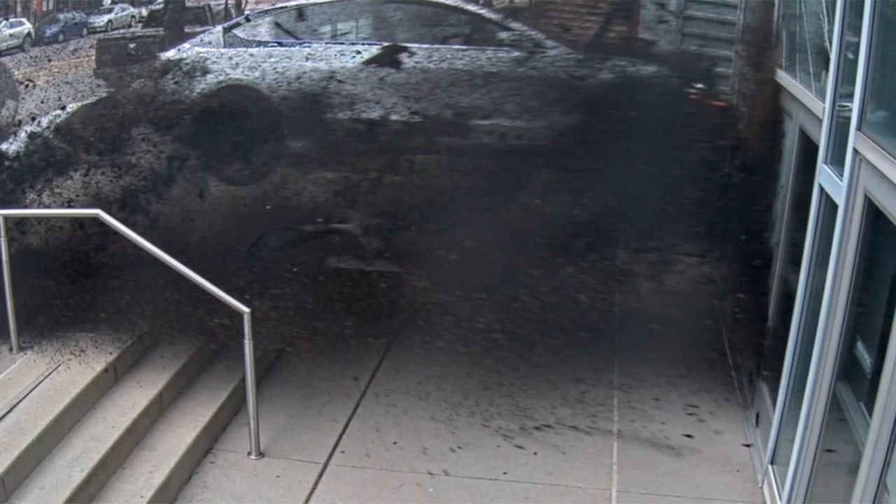
Multiple trees fell across the Triangle, including on Cary Towne Boulevard near the Fenton shopping center and the Interstate 40 ramps. At the Brighthurst Condos near Village District in Raleigh, a tree fell into a pool, and the tree tore siding off the side of an apartment.
At 9 a.m. both directions of Wade Avenue were closed in Raleigh near Blue Ridge Road after a tractor trailer crash and downed power lines. Sky 5 flew over the scene.
In Garner on Beichler Road, the top of a tree completely broke off and was sitting on the roof of a home. Sky 5 video showed a hole in the roof of the house.
During a 15-minute period on Monday night, there were 485 lightning strikes, triggering power outages across the state. Several trees also fell on homes and across roadways, creating hazardous conditions for drivers and even injuring at least one couple outside their home near Raleigh’s Village District.
People sent WRAL News photos of downed trees, play structures blown across backyards and even a rare pink rainbow, which appeared after the storm.
So how will the debris and damage impact your morning? Here’s a look at the damage throughout central North Carolina.
NC power outages: Wake County had more than 80K outages at its peak
Many people spent the whole night in the dark.
As of 4:30 a.m. Tuesday morning, there were still more than 50,000 power outages in the Triangle area. By 7:30a.m., that number was down to around 20,000 still without power. At its peak, there were more than 80,000 outages in Wake County. At one point Monday night, there were more than 280,000 power outages throughout the entire state.
How are the roads? Drivers ‘dodging debris’ on the roadways, downed trees create hazardous conditions
Drivers should take caution this morning. Just as power outages could impact your morning commute due to blinking streetlights, fallen trees could also slow down the commute for some.
One large fallen tree is hanging over part of a busy road in Raleigh. The tree fell across Ridge Road near Lewis Farm Road. The tree has been draped in yellow caution tape, but could still be a hazard.
There’s also a large downed tree on Cary Towne Blvd. near the I-40 interchange.
Some drivers told WRAL News they had to ‘dodge fallen limbs’ as they drove into work this morning.
Storm aftermath: Fallen trees, fires and injuries
WRAL News viewers submitted pictures as storms passed through central North Carolina.
Fallen tree near Raleigh’s Village District
In Raleigh, a tree fell near Raleigh’s Village District on Brighthurst Drive.
“We were looking at the treetops, and my wife said that, ‘I think that tree is about to come down,’” said Dave Parker.
Parker and his wife were not injured.
“We were lucky that nothing came into our patio, but our patio is completely walled in with limbs and trees right now,” Parker said.
Parker said he’s lucky no glass was broken at his home. He said pool furniture was broken near his condo.
Woman trapped inside home by fallen tree in Cary
In Cary, a woman was trapped after the tree fell into a house on Palmer Place. A town of Cary spokesperson said no one was injured.
Narrow miss: Tree falls on car in Garner
Garner police and the North Carolina State Highway Patrol responded to a tree that fell on a car on Grovemont Road. No one was injured, according to police. The people were out of the car when the tree fell on it, police said.
Car crashes down embankment on NC Highway 55
In Durham, a car went down an embankment on North Carolina Highway 55 and Interstate 40. It’s unclear the cause of the crash or how many people were involved. The road reopened around 11 p.m. Monday.
Apex sees roadway hazards
In Apex, police said there were sporadic traffic light outages, downed trees and ponding water. Drivers were urged to use caution when going through intersections.
Rocky Mount sees dozens of blocked roads
The North Carolina Department of Transportation said more than a dozen roads were blocked by downed trees or power lines in the Rocky Mount area.
Flights canceled at RDU due to storms
Raleigh-Durham International Airport and Charlotte Douglas International Airport each had dozens of flights canceled on Monday night.
Proctorville Baptist Church catches fire
Proctorville Baptist Church caught fire on Monday night.
It’s unclear how the church caught fire at 304 Main St. in Proctorville. However, people on social media said lightning hit the steeple.
Also, the preacher’s son told WRAL News said he heard the lightning strike and smelled smoke shortly after.

North Carolina
Tropical Storm Debby expected to bring rainfall to Virginia & North Carolina

Tropical Storm Debby already has parts of Florida under tropical storm warnings. The Florida Big Bend is currently under a Hurricane Warning. Debby is forecast to briefly strengthen into a category 1 hurricane as it moves over the Gulf of Mexico where water temperatures are near 90 degrees.
As it continues its path over land it is expected to dial back to tropical storm strength as it reaches the Carolinas mid to late next week. Moderate rainfall is possible for northeast North Carolina and southern Virginia by the end of the week.

Higher amounts of rain are possible for southernmost portions of the Outer Banks but generally models show 2-4 inches for northeast North Carolina and 1-2 inches for southern Virginia through Thursday.
Stay with News 3’s First Warning Weather Team for the latest updates as the storm develops.
North Carolina
Tropical weather update for Wilmington: What we can expect and when

The National Hurricane Center continues to monitor a tropical depression over Cuba. It’s expected to become a tropical storm later Saturday, bringing impacts to the Carolinas around the middle of next week.
Heavy rainfall and flooding are the primary impacts expected, according to the National Weather Service in Wilmington.
“Gusty winds are also possible, but it is too early to predict specific impacts in great detail at this time,” the weather service said.
At the same time, there is the potential for heavy rainfall and some flooding associated with front expected to stall inland this weekend.
As of 11 a.m. Saturday, the center of the tropical depression, which would be name Debby if it becomes a tropical storm, was over Cuba and moving west-northwest near 15 mph. The hurricane center said a turn toward the northwest is forecast for Saturday, followed by a northward motion on Sunday and then a slower northeastwardmotion Sunday night and Monday.
Maximum sustained winds were near 35 mph. Slow strengthening is expected throughout the day Saturday. Faster strengthening is possible Sunday, with the storm nearing hurricane strength when it reaches the Florida Gulf Coast, the hurricane center said.
STORM TRACKER: Monitor the latest tropical developments here.
Here’s a look at what we can expect in the Wilmington area, according to the latest briefing from the National Weather Service in Wilmington.
Wind
The probability of tropical storm force winds has increased, especially for the South Carolina coast. The most likely time of arrival of for northeast South Carolina is Tuesday night into Wednesday morning, and for Southeastern North Carolina is during Wednesday morning.
Rain
The potential for significant rainfall exists with 8 to 12 inches possible from near Cape Fear to portions of thenortheast South Carolina coast. Flash flooding and urban flooding are possible. Some rivers, including the North Cape Fear River and the Waccamaw River, could exceed flood stage next week.
INTERACTIVE MAP: Enter your address to see hurricanes, tropical storms that have passed nearby
Marine impacts
Rough surf, including dangerous rip currents, and hazardous marine conditions are expected this weekend and will persist into the upcoming week.
Are you prepared for a hurricane?
Hurricane season runs from June 1 to Nov. 30. Even if this system won’t pose a threat to the NC coast, it’s never too early to be prepared.
GET READY: Are you prepared for a hurricane? Here’s what to know if you live in the Wilmington area.
North Carolina
Tropical Depression Four forms on its way to the Gulf of Mexico

As of the 5 AM update Friday, Tropical Depression Four has formed. Areas along the East Coast including North Carolina need to continue monitoring this system. Winds are at 30 MPH and gusts are up to 40 MPH. The pressure dropped to 1009 mb and is moving to the west at 16 mph. TD 4 is expected to become Tropical Storm Debby over the weekend. Tuesday night and Wednesday are First Alert Weather Days due to the threat to ENC from this system but we may need to adjust the timing as we get closer.
It’ll move slowly before escaping to the north next week. As it moves up the East Coast, there’s a lot more uncertainty about the track and threats. We expect the track of this system to change through the weekend and even into next week. If ENC sees impacts from this system, they’d likely come mid-week. The longer this system stays over land, the weaker it’ll be. It’ll have the chance to strengthen if it moves back over open water, especially if it moves over the warm waters of the Gulf Stream.
The speed of this system is just as important as the strength. The quicker it moves through, the less rain piles up. If it slows down or stalls, higher rainfall amounts would be expected. Our river levels have dropped a bit since July’s wet weather, but levels are still higher than what you’d find in a typical August.
This is a reminder that we are heading into the heart of the hurricane season and to make sure your emergency supplies are ready.
Stay with WITN and WITN.com as we continue to track this system over the coming days and monitor the 2024 Atlantic hurricane season.
Copyright 2024 WITN. All rights reserved.
-

 Mississippi4 days ago
MSU, Mississippi Academy of Sciences host summer symposium, USDA’s Tucker honored with Presidential Award
-

 World1 week ago
Typhoon Gaemi barrels towards China’s Fujian after sinking ship off Taiwan
-

 Politics7 days ago
Republicans say Schumer must act on voter proof of citizenship bill if Democrat 'really cares about democracy'
-

 News1 week ago
Video: Kamala Harris May Bring Out Trump’s Harshest Instincts
-
World6 days ago
More right wing with fewer women – a new Parliament compendium
-

 News1 week ago
Who Can Achieve the American Dream? Race Matters Less Than It Used To.
-

 World7 days ago
Israel says Hezbollah crossed ‘red line’, strikes deep inside Lebanon
-

 Politics1 week ago
Trump announces to crowd he 'just took off the last bandage' at faith event after assassination attempt


:quality(70)/cloudfront-us-east-1.images.arcpublishing.com/adn/HGNDMIQ6BXVNWW64OFPIQK6OJ4.jpg)


