North Carolina
North Carolina Republicans finalize passage of an elections bill that could withstand a veto

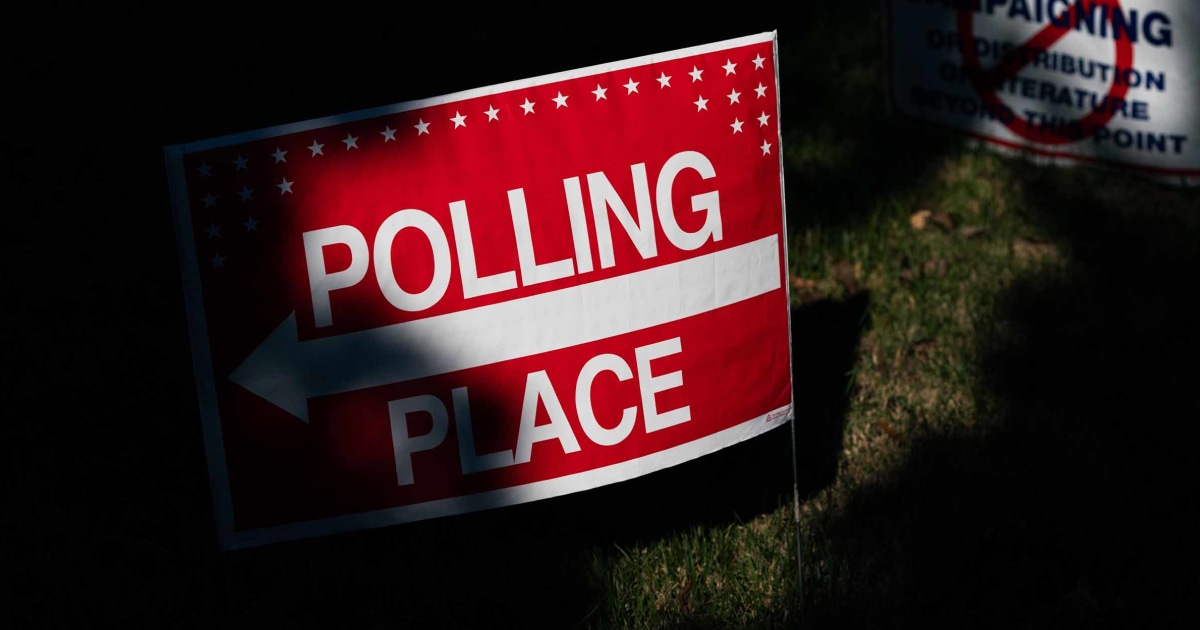
RALEIGH, N.C. — The Republican-controlled North Carolina legislature finalized a far-reaching elections bill late Wednesday that would end a grace period for counting mailed absentee ballots, toughen same-day registration rules and empower partisan observers at polling places.
The House voted 69-47 for changes it made to a measure that the Senate passed in June, followed quickly by senators agreeing to those alterations by a similar party-line vote of 27-18.
GOP supporters and their allies argue the changes are needed to streamline election activities in a growing state and to restore the people’s confidence and trust in voting and the results. The first election that most changes would affect is a primary next March.
“The aim of the bill is to improve our elections,” Rep. Grey Mills, an Iredell County Republican shepherding the measure, told House colleagues earlier Wednesday. “All of it aims to make our processes on Election Day, during early voting, mail-in ballots … more efficient and to make it more user-friendly.”
But Democrats and voter advocacy groups contend many provisions would actually suppress voting and increase the risk for intimidation within voting places in a state with a history of racial discrimination.
“I fear that this bill will make it harder to vote,” Rep. Allen Buansi, an Orange County Democrat, said during House floor debate. “We have an election system that has stood the test of time, and this bill unfortunately threatens that.”
The bill now goes to Democratic Gov. Roy Cooper, who has previously successfully vetoed three provisions contained again within the 40-plus page bill — including the absentee ballot deadline change. In a statement before Wednesday’s votes, he lamented efforts by lawmakers to pass legislation that “hurts the freedom to vote.”
With Republicans this year holding narrow veto-proof majorities in both chambers, another Cooper veto would likely be overridden.
The nation’s ninth-largest state is considered a presidential battleground, and the 2024 race for governor is expected to be highly competitive. The state’s 7.3 million voters already must learn the rules for showing photo voter identification starting with this fall’s municipal elections after the state Supreme Court upheld a 2018 law in April.
The omnibus measure would again attempt to require that traditional absentee ballots be received by county election offices by the time in-person balloting ends at 7:30 p.m. on the date of the election. Current law allows up to three days after the election for a mailed-in ballot envelope to be received if it’s postmarked by the election date.
Critics of the change say the end of the grace period leaves last-minute voters at the mercy of the U.S. Postal Service, and will disenfranchise them.
But Republicans argue that all voters should follow the same deadline regardless of voting preference and that state election officials would communicate with the public about the deadline change. A majority of states require that absentee ballots arrive on or before the election date.
Another previously vetoed provision in the bill would direct state courts to send information to election officials about potential jurors being disqualified because they aren’t U.S. citizens. Those people could then be removed from voter rolls.
Also previously vetoed — and reincluded in the latest version of the bill — is language barring election boards and county officials from accepting private money to administer elections. A House amendment — the only one of 17 offered by Democrats on Wednesday that passed the chamber — would provide an exception for county boards to accept in-kind-contributions for writing pens or for food and drink for precinct workers.
The provision toughening same-day registration rules is in response to concerns by Republicans that some people who both register to vote and cast ballots late in the 17-day early-voting period are having their votes counted although election officials later determine they aren’t qualified.
The new language says a same-day registrant’s ballot won’t count if their mailed voter registration card is returned to county election officials as undeliverable by the day before a county’s final ballot count. Current law requires two undeliverable mailings.
The latest version of the bill also more clearly spells out what poll observers who are chosen by political parties can and can’t do.
For example, an observer could take notes in the voting place, and listen to a conversation between a voter and an election official as long as it’s about election administration. But the person couldn’t take a picture of a marked ballot or impede a voter from entering or leaving the voting place. Mills said the bill language still gives precinct judges control over voting places.

North Carolina
Tropical Storm Debby expected to bring rainfall to Virginia & North Carolina

Tropical Storm Debby already has parts of Florida under tropical storm warnings. The Florida Big Bend is currently under a Hurricane Warning. Debby is forecast to briefly strengthen into a category 1 hurricane as it moves over the Gulf of Mexico where water temperatures are near 90 degrees.
As it continues its path over land it is expected to dial back to tropical storm strength as it reaches the Carolinas mid to late next week. Moderate rainfall is possible for northeast North Carolina and southern Virginia by the end of the week.

Higher amounts of rain are possible for southernmost portions of the Outer Banks but generally models show 2-4 inches for northeast North Carolina and 1-2 inches for southern Virginia through Thursday.
Stay with News 3’s First Warning Weather Team for the latest updates as the storm develops.
North Carolina
Tropical weather update for Wilmington: What we can expect and when

The National Hurricane Center continues to monitor a tropical depression over Cuba. It’s expected to become a tropical storm later Saturday, bringing impacts to the Carolinas around the middle of next week.
Heavy rainfall and flooding are the primary impacts expected, according to the National Weather Service in Wilmington.
“Gusty winds are also possible, but it is too early to predict specific impacts in great detail at this time,” the weather service said.
At the same time, there is the potential for heavy rainfall and some flooding associated with front expected to stall inland this weekend.
As of 11 a.m. Saturday, the center of the tropical depression, which would be name Debby if it becomes a tropical storm, was over Cuba and moving west-northwest near 15 mph. The hurricane center said a turn toward the northwest is forecast for Saturday, followed by a northward motion on Sunday and then a slower northeastwardmotion Sunday night and Monday.
Maximum sustained winds were near 35 mph. Slow strengthening is expected throughout the day Saturday. Faster strengthening is possible Sunday, with the storm nearing hurricane strength when it reaches the Florida Gulf Coast, the hurricane center said.
STORM TRACKER: Monitor the latest tropical developments here.
Here’s a look at what we can expect in the Wilmington area, according to the latest briefing from the National Weather Service in Wilmington.
Wind
The probability of tropical storm force winds has increased, especially for the South Carolina coast. The most likely time of arrival of for northeast South Carolina is Tuesday night into Wednesday morning, and for Southeastern North Carolina is during Wednesday morning.
Rain
The potential for significant rainfall exists with 8 to 12 inches possible from near Cape Fear to portions of thenortheast South Carolina coast. Flash flooding and urban flooding are possible. Some rivers, including the North Cape Fear River and the Waccamaw River, could exceed flood stage next week.
INTERACTIVE MAP: Enter your address to see hurricanes, tropical storms that have passed nearby
Marine impacts
Rough surf, including dangerous rip currents, and hazardous marine conditions are expected this weekend and will persist into the upcoming week.
Are you prepared for a hurricane?
Hurricane season runs from June 1 to Nov. 30. Even if this system won’t pose a threat to the NC coast, it’s never too early to be prepared.
GET READY: Are you prepared for a hurricane? Here’s what to know if you live in the Wilmington area.
North Carolina
Tropical Depression Four forms on its way to the Gulf of Mexico

As of the 5 AM update Friday, Tropical Depression Four has formed. Areas along the East Coast including North Carolina need to continue monitoring this system. Winds are at 30 MPH and gusts are up to 40 MPH. The pressure dropped to 1009 mb and is moving to the west at 16 mph. TD 4 is expected to become Tropical Storm Debby over the weekend. Tuesday night and Wednesday are First Alert Weather Days due to the threat to ENC from this system but we may need to adjust the timing as we get closer.
It’ll move slowly before escaping to the north next week. As it moves up the East Coast, there’s a lot more uncertainty about the track and threats. We expect the track of this system to change through the weekend and even into next week. If ENC sees impacts from this system, they’d likely come mid-week. The longer this system stays over land, the weaker it’ll be. It’ll have the chance to strengthen if it moves back over open water, especially if it moves over the warm waters of the Gulf Stream.
The speed of this system is just as important as the strength. The quicker it moves through, the less rain piles up. If it slows down or stalls, higher rainfall amounts would be expected. Our river levels have dropped a bit since July’s wet weather, but levels are still higher than what you’d find in a typical August.
This is a reminder that we are heading into the heart of the hurricane season and to make sure your emergency supplies are ready.
Stay with WITN and WITN.com as we continue to track this system over the coming days and monitor the 2024 Atlantic hurricane season.
Copyright 2024 WITN. All rights reserved.
-

 Mississippi4 days ago
MSU, Mississippi Academy of Sciences host summer symposium, USDA’s Tucker honored with Presidential Award
-

 World1 week ago
Typhoon Gaemi barrels towards China’s Fujian after sinking ship off Taiwan
-

 Politics7 days ago
Republicans say Schumer must act on voter proof of citizenship bill if Democrat 'really cares about democracy'
-
World6 days ago
More right wing with fewer women – a new Parliament compendium
-

 News1 week ago
Video: Kamala Harris May Bring Out Trump’s Harshest Instincts
-

 News1 week ago
Who Can Achieve the American Dream? Race Matters Less Than It Used To.
-

 Politics1 week ago
Trump announces to crowd he 'just took off the last bandage' at faith event after assassination attempt
-

 World7 days ago
Israel says Hezbollah crossed ‘red line’, strikes deep inside Lebanon


