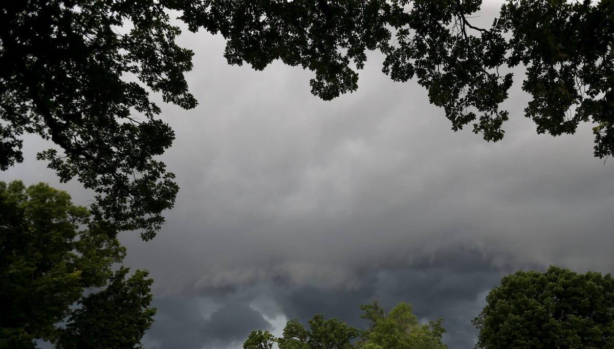
The National Weather Service in Louisville anticipates severe weather is possible May 20 throughout Kentucky, with the greatest chance for significant tornadoes in southwestern part of the state.
A wave of storms could move through most of the state by the evening, beginning in west Kentucky. In addition to tornadoes, large hail and damaging winds are the main threats for the commonwealth, though flash flooding could also occur during the fast-moving storms, NWS Louisville officials said in a weather briefing. In Louisville, storms are expected to arrive sometime between 5-8 p.m.
Maps issued by NWS Louisville at 12:03 p.m. showed southwestern Kentucky, including Bowling Green, under a greater than 10% risk for tornadoes of at least EF-2 strength within 25 miles. Lexington and cities to the south had a 10% chance for these tornadoes, and Louisville and parts of a northeastern Kentucky are under a 5% chance.
The greatest risk for hail of at least 2 inches in diameter appears to in west Kentucky, where chances are greater than 30%, according to National Weather Service graphics. There is a 15% chance for hail of that size in the rest of the commonwealth, except for far northeastern Kentucky.
Louisville has a 30% chance of seeing strong damaging winds, while there is also for 45% chance for severe gusts in Bowling Green, London and Corbin.
Central Kentucky and southern Indiana residents who typically use a weather radio for updates on severe storms will need to rely on other sources of information May 20, due to a scheduled computer systems update pre-planned by the National Weather Service.
Follow live updates from around Louisville and Kentucky.
All executive branch state offices in Kentucky will close early ahead of expected inclement weather, according to a post from the Kentucky Cabinet for Health & Family Services.
Officials wrote that Gov. Andy Beshear will close the offices at 3 p.m. May 20.
“Executive Branch agencies will continue to provide services to the citizens of the Commonwealth, therefore, essential employees designated for mandatory operations and those able to work remotely should continue to report for work,” the post said.
The Kentucky Transportation Cabinet said it will also close at 3 p.m., with all regional offices closing at 2:30 p.m.
“We apologize for the inconvenience and appreciate your patience,” KYTC officials said. “Regional offices will contact affected customers to reschedule appointments.”
Areas in Laurel County that were impacted by a tornado late May 16 will be evacuated during the evening hours of May 20 ahead of more severe storms are set to move into the area, state and local officials announce during a news conference.
Officials are concerned that the risks of May 20 storms that could bring high winds, tornadoes and hail may be compounded by debris and buildings left weakened from the recent tornado that killed a confirmed 17 people in Laurel County. The evacuation zone includes “all affected areas” in Laurel County, London Mayor Randall Weddle said.
“There’s going to be people that’s not going to like the thoughts of mandatory,” Laurel County Sheriff John Root said. “Each of these officials behind me, we gathered together, we put our heads together and I want you to know that this is for the safety of our community.”
The evacuation will last from about 6-11 p.m., though it could be extended depending on the timing of the weather, Gov. Andy Beshear said. Local officials will notify residents in the evacuation area and transport them to safe shelters throughout the day using buses and other government vehicles, Weddle said.
Shelters include the London Community Center and other spaces coordinated by the American Red Cross, Weddle said.
“We’re going to be moving throughout these two neighborhoods right after we break here, and we’ll make sure that each of those residents knows,” Beshear said.
Communities in east Kentucky, including those impacted by heavy storm damage May 16, are under a tornado watch from now until 8 p.m., according to the National Weather Service. The watch also includes parts of Tennessee, Virginia and West Virginia.
Within the watch area, residents could see a “few tornadoes,” hail as large as a ping-pong ball and wind gusts of up to 70 mph.
Laurel County Public School announced May 20 that the school year officially concluded May 16 following severe weather and a devastating tornado that killed nearly 20 people in the area.
“We believe this decision to end the school year will allow us to focus on our students and employees who have been adversely impacted, as we continue to coordinate with local, state, and federal agencies in the restoration of services to our community,” officials said. “We are saddened that our students will not be able to enjoy the typical last week of school activities.”
Graduation remains scheduled for May 31 and additional information will be shared on the websites and social media pages of individual schools.
The district previously extended the school day for students pending House Bill 241 to make up for missed days. The school system was one of the districts along Interstate 75 near London previously forced to close or move to NTI as police officers spent nearly two weeks searching for a gunman who opened fire on travelers from an overpass in September 2024.


![Paige Bueckers: 'Always good to be back home' [RAW] Paige Bueckers: 'Always good to be back home' [RAW]](https://images.foxtv.com/c107833-mcdn.mp.lura.live/expiretime=2082787200/87e09ee32b02bcb8947d1bc39527acd728390537d67a87c3f9964454ae59626b/iupl/88B/175/1280/720/88B175945838146978E04057DF31759B.jpg?ve=1&tl=1)


