Wyoming
Winter To Slam Wyoming By End Of Week With Windchills Of -20 Or Below

The worst of what so far has been a mild Wyoming winter is coming this week, which means weeks of warmer-than-usual temperatures and a noticeable lack of snow will be put on ice.
The National Weather Service is tracking two monster winter storms that will hit the East Coast and Midwest this week. Wet, heavy snow will fall at a rate of 2 inches an hour, accompanied by wind gusts of 60-70 mph.
There are already blizzard warnings throughout Kansas and Nebraska and worries of intense winter storms in the Great Lakes region.
“There’s going to be a lot of winter weather over a large part of the United States,” said Cowboy State Daily meteorologist Don Day. “More than we’ve seen all winter season.”
Wyoming won’t be in the path of those monstrous winter storms making landfall early this week. But by the weekend, the worst of winter will come around and stick around the Cowboy State, Day said.
Cold, Cold, Cold
“The worst of winter” usually conjures images of heavy snowfall. There will be snow, and possibly lots of it, Day said. But the reality of the first winter storm of 2024 will be more likely to chill people to their core rather than bury them.
Day said “the overall message” Wyomingites should take away from the current forecasts is that these will be the coldest temperatures of the winter season so far. There could be a decent amount of snow, but there will be sub-zero temperatures.
“It can be very, very cold this weekend on the northern and eastern side of the state in particular,” he said. “Saturday and Sunday nights, I’m expecting to go below zero. We can see 10, 20, 25 degrees below zero by the end of the weekend.”
The National Weather Service predicts a high temperature of 4 degrees Friday in Cody, with Gillette marginally warmer at 7 degrees. Overnight temperatures drop into the negatives throughout most of north and eastern Wyoming.
But its the potential for windchill to drop those into the dangerous ranges of Wyoming winter cold.
Not That Kind Of Snowstorm
While cold is the primary concern for Day, many Wyomingites will be more interested in how much snow will accompany the subzero temperatures. The winter storm over Thanksgiving weekend hit hard and fast with significant snowfall of more than 2 feet alone in Lander.
Day said the weather pattern leading into the Thanksgiving storm was different from the one that will start freezing Wyoming this weekend.
“On Thanksgiving, we saw huge amounts of snow,” he said. “This is a different animal. This is Arctic air and Pacific weather systems moving through the region, bringing on-and-off periods of snow and making it a lot colder than it’s been. The Thanksgiving storm was one event, and then it was done. This is going to be several events strung together.”
There is a potential for some parts of Wyoming to see heavier snow over the weekend, but it’s too early to anticipate it. However, the snow that should fall will be enough to become hazardous.
“There’s going to be enough snow combined with the cold that it’ll be impactful,” he said. “But this isn’t like buried in snow type situation. This is enough snow to be a hassle and a lot of severe cold to keep that snow around, keep things icy, and give us an extended period where it’s just going to be winter.”
Mother Nature’s Rubber Band
While many people have expressed concern about what’s so far been a mild winter in Wyoming this season, Day has stood by his long-range forecast of a colder, longer winter. The latest storms are vindicating of longstanding patterns he’s observed throughout his career.
“I can go back in the records and find you many Decembers that have been and many early Januarys that have started off just like this. So, this is not unheard of. Typical? No, but it’s not unheard of,” he said.
The incoming winter weather is expected to dramatically change the rest of the winter season. Day sees this as extremes counterbalancing each other.
“You’re always going to have a thaw and see this work itself out and then have a warm-up,” he said. “That’s the way it works. It’s like a rubber band. It goes both ways. You can have these warm periods and then snap back to a cold period and then snap back to a temperature that a warmup again.”
Wyomingites should get a wake-up call as the rubber band snaps back into the winter weather that’s been expected and for some, long overdue. Day said there are still several months of winter to make up for lost time and snowpack.
“We’ve got 23 days to catch up,” he said. “I do think that for January and parts of February, this is probably not the only Arctic outbreak we’re going to have. December and early January don’t mean that’s how it’s going to go for the rest of the winter. And folks are going to find that out really quick.”
Andrew Rossi can be reached at arossi@cowboystatedaily.com.

Wyoming
TV Show Explores Wyoming’s Strangest House

The Amazon Prime show Forbidden Mysteries has an episode on one of the strangest architectural oddities in Wyoming.
Deep in Wyoming’s rugged landscape stands a strange wooden structure that defies explanation. The Smith Mansion was built over decades, yet its true purpose remains an unsolved mystery. (Forbidden Mysteries).
The Smith Mansion, also known as the Smith Family Cabin, is a large, prominent structure with a height of roughly 75 ft in the Wapiti Valley in Wapiti, Wyoming.
You can watch the cut of this episode on YouTube video below
There was nothing traditional about this house. Even the way they lived here. Forget beds and bedrooms. The video above explains.
Each week, Forbidden Mysteries uncovers the hidden truths, dark secrets, and extraordinary stories that history tried to forget. From royal scandals and unsolved murders to secret societies, ancient relics, and mysterious ruins, every episode takes you deeper into the shadows of the past.
The iconic Smith Mansion (or Smith Family Cabin) in Wapiti, Wyoming, is a notable 75-foot-tall, five-story log structure built by Francis Lee Smith between 1971 and 1992.
October 2019 to Zhiru Huang of Mountain Lodging for an undisclosed amount, although it was listed for roughly. It was sold by his daughter to preserve the legacy and stop vandalism.
If you want to drive out and see it for yourself, the Smith Mansion (or Smith Family Cabin) in Wapiti, Wyoming, is situated on the North Fork Highway between Cody and Yellowstone. This uniquely designed, rustic landmark is privately owned but easily viewed from the road.
Sure, you’ll want to go up and explore it for yourself. You’ll want to go inside. But, alas, you can’t. It’s probably not even safe.
The Beautiful Homes Of Sheridan Wyoming
Should you be visiting Sheridan, Wyoming, you MUST drive up the hill, past downtown, to see these wonderful homes.
There is no way to show them all.
So here are some of our favorites.
Gallery Credit: Glenn Woods
Wyoming
Spring is a good time to view sage-grouse
CHEYENNE — With warmer weather and greener landscapes, April is one of the best months of the year to view sage-grouse on their leks in Wyoming.
The sage-grouse is the largest species of grouse in North America. Each spring male sage-grouse performs an elaborate sunrise display on communal breeding grounds known as leks. While sage-grouse require sagebrush landscapes to survive, leks are often located in open areas where the males can be better seen and heard by females.
“The dramatic display makes viewing sage-grouse a popular recreational activity during the spring across much of Wyoming,” said Nyssa Whitford, sage grouse biologist for the Wyoming Game and Fish Department. “This year’s conditions are mostly dry across the state. We may still receive spring storms so be vigilant, watch the weather and pick a string of dry, clear mornings for your lek visit this year.”
To guide your lek outings, Game and Fish launched the Sage-Grouse Lek Viewing Guide to take you to the best publicly-accessible viewing locations across Wyoming. The guide provides directions to each lek location.
Game and Fish urges individuals when viewing to:
- Arrive at lek sites at least one hour before sunrise.
- Park away from the edge of the lek. Do not drive onto the lek.
- Turn off vehicle lights and engine.
- Use binoculars and spotting scopes to observe birds.
- Stay in your vehicle.
- Avoid making loud noises or sudden movements.
- Let the birds leave before you do.
- Leave pets at home.
- Respect private land and do not trespass.
- Postpone your visit if roads are muddy.
“Late-April is a good time to visit because most of the breeding is complete, but the males are still actively strutting. The weather is usually better, too,” Whitford said.
Wyoming has a long history of sage-grouse conservation, and was the first state to implement a statewide conservation strategy for the species. Through partnerships with landowners, other state and federal agencies and conservation organizations, Game and Fish has worked to balance land use with conservation efforts and help protect and restore sage-grouse populations throughout the state. For more information on our conservation efforts, please visit our sage-grouse management page.
—WGFD—
Wyoming
The Punjabi Truck Stop Serving Wyoming’s Best Indian Food

Inside Akal Travel Center, a 24-hour truck stop on Wyoming’s high plains, the smells of sizzling garlic and earthy curry powder permeate the air. It’s a gray, windy day in late January, and Ediquis Brown has parked his rig at the fuel station off Interstate 80, about 20 miles from downtown Laramie, Wyoming. He walks past aisles stocked with candy bars and kitschy souvenirs to the checkout counter, where he orders without even looking at the faded whiteboard menu. His go-to: tandoori chicken, garlic naan, one mango lassi, and two cups of creamy chai.
Based out of Fort Lauderdale, Brown travels east to west every week in his 18-wheeler, often driving up to 11-hour shifts and eating in his vehicle to stay on schedule. He is one of the dozens of motorists who come to Akal each day for house-made batches of beautifully blistered naan, golden-hued butter chicken, and biryani bejeweled with carrots and peas.
“We attract customers with the cheapest diesel—and the food,” says Gurjot Singh, who has been the truck stop’s manager since 2014, just two years after owners Mintu Pandher and his wife, Amandeep, bought the property. All 10 of their employees relocated to Laramie from the Punjab state of northwest India and now reside in a housing complex behind the gas station.
-

 Atlanta, GA1 week ago
1 teenage girl killed, another injured in shooting at Piedmont Park, police say
-

 Georgia1 week ago
Georgia House Special Runoff Election 2026 Live Results
-

 Arkansas4 days ago
Arkansas TV meteorologist Melinda Mayo retires after nearly four decades on air
-

 Pennsylvania1 week ago
Parents charged after toddler injured by wolf at Pennsylvania zoo
-

 Milwaukee, WI1 week ago
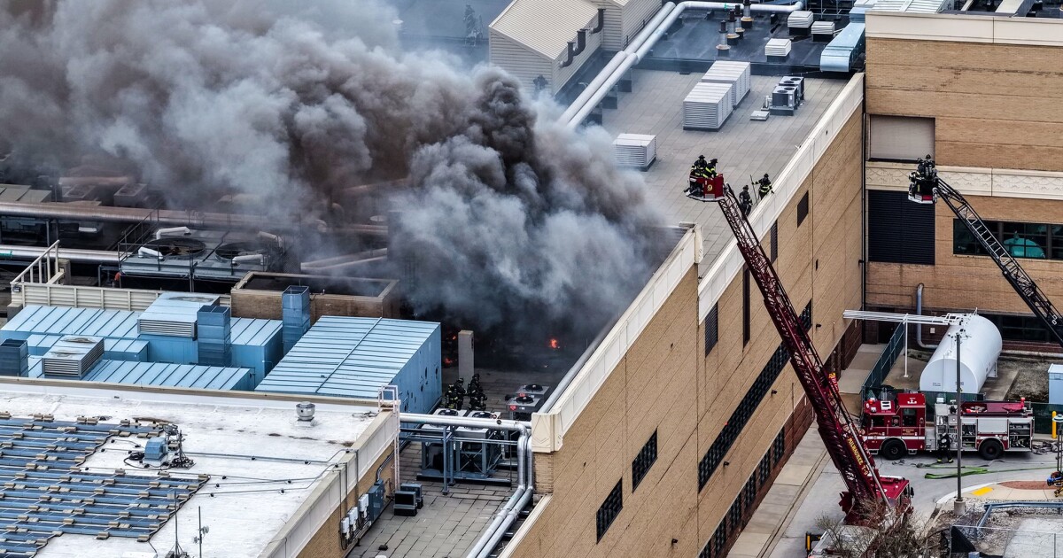
Potawatomi Casino Hotel evacuated after fire breaks out in rooftop HVAC system
-

 Ohio10 hours ago
‘Little Rascals’ star Bug Hall arrested in Ohio
-

 Austin, TX7 days ago
ABC Kite Fest Returns to Austin for Annual Celebration – Austin Today
-

 World1 week ago
Zelenskyy warns US-Iran war could divert critical aid from Ukraine


