It is well documented that the Tampa Bay area is extremely vulnerable to hurricanes and that the region has also dodged major hurricanes over the last century.
It is far too early for residents around Tampa Bay to breathe a sigh of relief, but Hurricane Milton wobbled farther south than expected Tuesday, leading to a southern shift in the forecast from the National Hurricane Center.
Meteorologists usually stress not to focus on the exact track and to not even focus on the cone, because significant impacts always occur outside of the cone. In fact, the cone from the National Hurricane Center is only designed to capture the path of the storm two-thirds of the time. That means that one in three times the storm’s track falls outside of the cone. However, that exact track is very important when it comes to the details of the impacts.
The worst storm surge in Hurricane Milton is forecast to be near the landfall point and to the south, based on the angle it is approaching the coast. If the current trajectories showing a path toward Sarasota hold true, the worst storm surge would be into places like Sarasota, Venice and southward into surge-vulnerable places like Port Charlotte and Punta Gorda. On the northern side of the storm, winds across Tampa Bay would largely push water out of the bay, potentially even reducing the water levels as happened during Hurricane Ian, which made landfall near Fort Myers in 2022.
Advertisement
This current trajectory is only about 40 miles south of Tampa or 20 miles south of the mouth of Tampa Bay, and the NHC warns that uncertainty remains and additional wobbles – north or south – are possible. It is also very important to note that Tampa is still within the cone of uncertainty.
Even with a potential track south of Tampa, which would spare that area the worst of the surge, there is still a significant risk of catastrophic hurricane-force winds and flooding rain. Hurricane Milton is expected to grow into a large storm as it approaches landfall, and much of the Florida Peninsula will experience the wrath of the storm.
This Week in South Florida Full Episode: March 1, 2026
PEMBROKE PARK, Fla. — On the latest episode of “This Week in South Florida” host Janine Stanwood welcomes President and CEO of the Jewish Federation of Broward County Audra Berg, Secretary General of the Assembly of the Cuban Resistance Orlando Gutierrez-Boronat, Division Director of Flood Control and Water Supply Planning for the South Florida Water Management District Carolina Maran, State Rep. Juan Carlos Porras and State Rep. Kevin Chambliss.
The full episode can be seen at the top of this page.
Copyright 2026 by WPLG Local10.com – All rights reserved.
Advertisement
Janine Stanwood
Janine Stanwood is a Emmy award-winning reporter and anchor. She joined Local 10 News in February 2004 as an assignment editor.
South Florida leaders are taking preventative measures to keep residents safe after the U.S. and Israel launched major strikes on Iran early Saturday morning.
Miami-Dade County mayor Daniella-Levine Cava issued a statement reacting to the military operation that President Trump dubbed on Truth Social as “Operation Epic Fury.”
The statement reads: “The escalating conflict between the United States, Israel, and Iran poses serious risks to regional stability and international safety.”
She goes on to say that her thoughts are “with the people of Israel and the Jewish community here in South Florida who are watching these events with worry and uncertainty.” She also says the Iranian people “deserve peace, safety, dignity, and the freedom to live without repression.”
Advertisement
Of the Trump administration’s decision to launch the military operation, Levine-Cava writes: “Any military action taken without congressional authorization is a dangerous precedent, and we must learn from our nation’s past challenges. What must come next is a serious effort to restore stability and pursue diplomacy, not further violence.”
As for measures she will be taking, she says she asked her Chief of Public Safety to “ensure public safety agencies are aware and ready to activate plans in case of any disruption.”
The Miami-Dade Sheriff Rosie Cordero-Stutz also issued a statement saying that MDSO is “taking immediate security measures by increasing patrols to ensure the safety of our residents.” She said that they have increased security presence around places of worship, cultural centers, and schools.
“Our thoughts and prayers are with the servicemen and women protecting our national security interests around the globe,” Cordero-Stutz wrote.
Aventura Police have also responded to the current situation on X, saying that they are monitoring the “current situation in the Middle East with our local, state, and federal partners.”
Advertisement
@aventurapoliceis monitoring the current situation in the Middle East with our local, state and federal partners. At this time there are no known or credible threats to the US or Miami-Dade County. In an abundance of caution, we have implemented a heightened security posture with directed patrols at our religious facilities and other sensitive locations throughout @cityofaventuraWe will continue to monitor and report any suspicious behavior.https://x.com/aventurapolice/status/2027787245164335222/photo/1
X/Aventura Police
They go on to say: “At this time, there are no known or credible threats to the U.S. or Miami-Dade County.” However, they note that in “an abundance of caution,” they will be increasing security in religious facilities and other locations they deem as “sensitive” throughout the city.
Advertisement
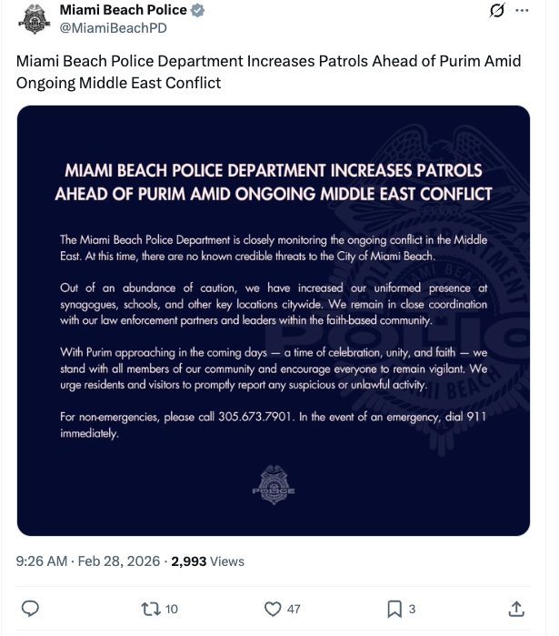
The City of Miami Beach also posted its statement to X, saying it is also “closely monitoring the ongoing conflict in the Middle East.” They also note that at this time, there are no known credible threats to the city.
They write: “Out of an abundance of caution, we have increased our uniformed presence at synagogues, schools, and other key locations citywide. We remain in close coordination with our law enforcement partners and leaders within the faith-based community.”
Miami Beach Police Department Increases Patrols Ahead of Purim Amid Ongoing Middle East Conflicthttps://x.com/MiamiBeachPD/status/2027752171173773807/photo/1
X/Miami Beach Police
They also urge residents to report any “suspicious or unlawful activity” to call their non-emergency number at 305-673-7901 or, if it is an emergency, call 911.
Advertisement
Other cities’ police departments, such as Bal Harbour, Sunny Isles Beach, and Hallendale Beach, posted on their social media that they will also increase security measures after the U.S.-Israel strikes on Iran.