Minneapolis, MN
Framing the Familiar: Exploring Perspectives on the Grain Belt Sign

ASSIGNED TO BRIAN, FOR PUBLICATION ON WEDNESDAY, NOV. 6.
The iconic Grain Belt Beer sign, originally erected in 1941 along the Mississippi River near Nicollet Island, has been a Minneapolis landmark for decades. Once a symbol of the city’s brewing heritage, the neon sign went dark in 1975 after the brewery changed ownership. In 2017, the sign was fully restored by the August Schell Brewing Company, once again lighting up the skyline and preserving its status as a historic and beloved emblem of Minneapolis’s industrial past. Today, it remains a vibrant reminder of the city’s rich cultural and brewing history.
Landmarks play a crucial role in defining a city’s visual identity and are often the most photographed tourist attractions. However, capturing them in an interesting way can be quite challenging. In Minneapolis, a few landmarks stand out, with the Stone Arch Bridge and the Spoonbridge Sculpture being among the most iconic. Near the top of this list is also the Grain Belt Sign, prominently visible from Nicollet Island and the Hennepin Bridge.
I’ve been living in Downtown Minneapolis for a year now, so I spend a good amount of time walking along the river and crossing the downtown bridges. I remember in my first month I came across a group of photographers who looked to be on a tour of some sort perched along the river waiting for the sunset views of the sign, probably waiting to catch the moment the lights turned on.
I wondered to myself how I would go about photographing the sign beyond that perspective and in a more systematic documentary manner. Then under my breath I asked, “how do you photograph the Grain Belt Sign?”
Of course, a quick Google Image search will provide a nice overview of the typical perspective.
Since I live nearby, I attempt to answer this question for myself without too much physical difficulty. From a documentary photography perspective, it made me think about how we go about documenting city landmarks, especially over a long period of time as a type of ritual. As I’ve mentioned in my previous articles, part of my photography involves photographing locations multiple times across months and years.
In fact, I knew I already had one photograph of the sign in my archive. It dates back to October 24, 2013. I was visiting Minneapolis from New York City for a wedding. I flew in, jumped on the Blue Line into Downtown, where I proceeded to walk to the hotel in Northeast.
Sometimes a photograph is just a note to your future self, a reminder about an idea or location. Now that I had my starting point, it was time to see if I could answer the question.

On June 6, 2024, I took my regular after-work walk and brought my camera. I liked the light, which is one of the first elements I am always going to think about. It was a partly cloudy day but the light was nice so I knew this was my chance. I made the above photograph as my first effort. The plan was to find a few different perspectives, hoping to see what I could learn in the compositions.

Since pedestrian infrastructure is a key part of subject matter, I wanted to see if I could work that into the composition. It wouldn’t be too difficult since this is one of the best pedestrian corridors Downtown. Now I felt I was getting somewhere. Layering the elements was definitely the strategy. But maybe I was too close. Let’s move back.

Frames within a frame is standard compositional tactic. In the above photo, the sign lined up nicely through this odd little plaza on the backend of the Federal Reserve. The brick patterning adds another layer but I wasn’t sure this was the angle so I went back in closer.

In the above photo, I spotted what I was looking for in a composition. The nice afternoon light, the frame within a frame, and pedestrian infrastructure. Add in the greenery and it all comes together, at least for this day.

The next encounter with the sign was a few days later, on June 9. In the above photo, what caught my attention was the junior tree making its roots across from the sign. I’ve been taking a few photographs of new trees when I come across them. I’m not fully committed to the project yet but these sketches give me something to think about.

As I walked under the bridge, I knew I couldn’t pass up the nice light and reflection. People love to photograph under bridges. It’s a cool perspective and cuts up the frame in interesting ways. They are enormous pieces of infrastructure, and are sometimes very weird looking.

It’d be a few weeks before the next photographs. At the end of a morning walk, I took the Hennepin Bridge back into Downtown and decided I needed to try a photograph from the closer angle on the bridge. I like the changing perspectives from the bridge as you move further away. Bridges provide you with these interesting, clear sight lines and often the perspective feels distorted because of the massive size of the structure you’re walking on.

I was starting to feel good about the variety of angles on the sign I was collecting. But I knew there was more to explore on the steps up to the Hennepin Bridge. A few days later, on July 12, while walking up the steps I made the above photograph which I feel compliments the other version incorporating the steps. I will probably keep trying new angles over time or make photographs from the same spot during different seasons.

Of course, that means trying at night. It was about two months later, on September 15 that I finally made a night walk and made the above photo.
The night reflection of the sign in the Mississippi is probably what a lot of photographers are going after when they set up their tripods. It’s a fun effect, especially under the bridge.

A few weeks later, I took out the tripod to make some long exposures and was able to make the photo above, which was about the exact spot where I’d first encountered the group of photographers earlier in the year. I suppose it would make sense for me to find a similar group and see if I can join them next time.

I knew I was still missing a few perspectives, especially from behind the sign on Nicollet Island. A few days before the night photo, on September 27, I took a walk around the river and photographed the sign from behind.


I appreciate the perspective from behind the sign because it makes it an anonymous structure if you don’t know the history or what you’re looking at. It just seems like a big sign, but what’s on it?

For a moment, I thought it would be cool to have some type of observation platform around it. It would be cool to sit at the base during sunset and then there would be all sort of new photos with people waving from the sign to the photographers on the other side. At this point, I started to feel my 360-degree strategy was the way to go. Of course, seasons will change the perspective and colors as well. Winter will be interesting to continue.

I felt I still hadn’t made a photograph that felt uniquely like my own. Then while I was walking back up on the Hennepin Ave. Bridge at dusk, I saw a couple of people in a canoe silhouetted as the rowed on the river.
In the above photo, I framed the sign to the right and tried to bring the composition together. At that point, I felt I was finally on my way. I started to think about how people interact with the sign in the landscape. Adding the candid human element was the next step.

As I was working on this article, I thought I had made the last photograph, but then on a late afternoon walk a week ago, I found myself again by the river approaching the sign. I knew I couldn’t pass up another opportunity to make one more photograph.
Recently, I’ve been working on a series of candid photographs of cyclists on the move through the city. As I approached the park, I saw a few cyclists whiz by, so I thought this would be my chance to take one last photo of the Grain Belt sign in the distance.
In a quick burst, I was able to make the above photograph with the cyclists and joggers silhouetted against the magic hour light on the sign. This one felt like the photograph I’d probably trying to make all along. Photography is often a game of trial and error, one that rewards you if you have the patience to keep pushing yourself.
For most other people, it’s probably not about making an original photograph of the sign. It’s about making their own version of it so they can collectively share in documenting their story in the city. I would love to see other interpretations and share them on the Streets.mn Instagram. I’d be curious to see the full spectrum of photographs from all angles, seasons and different styles. I’m sure there are plenty of paintings, drawings and videos as well.
I’m certain I’ll continue to photograph the sign, perhaps next in the dead of winter after a snowstorm to create a noticeable divergence in the landscape.
All photos by Bryan Formhals
Related

Minneapolis, MN
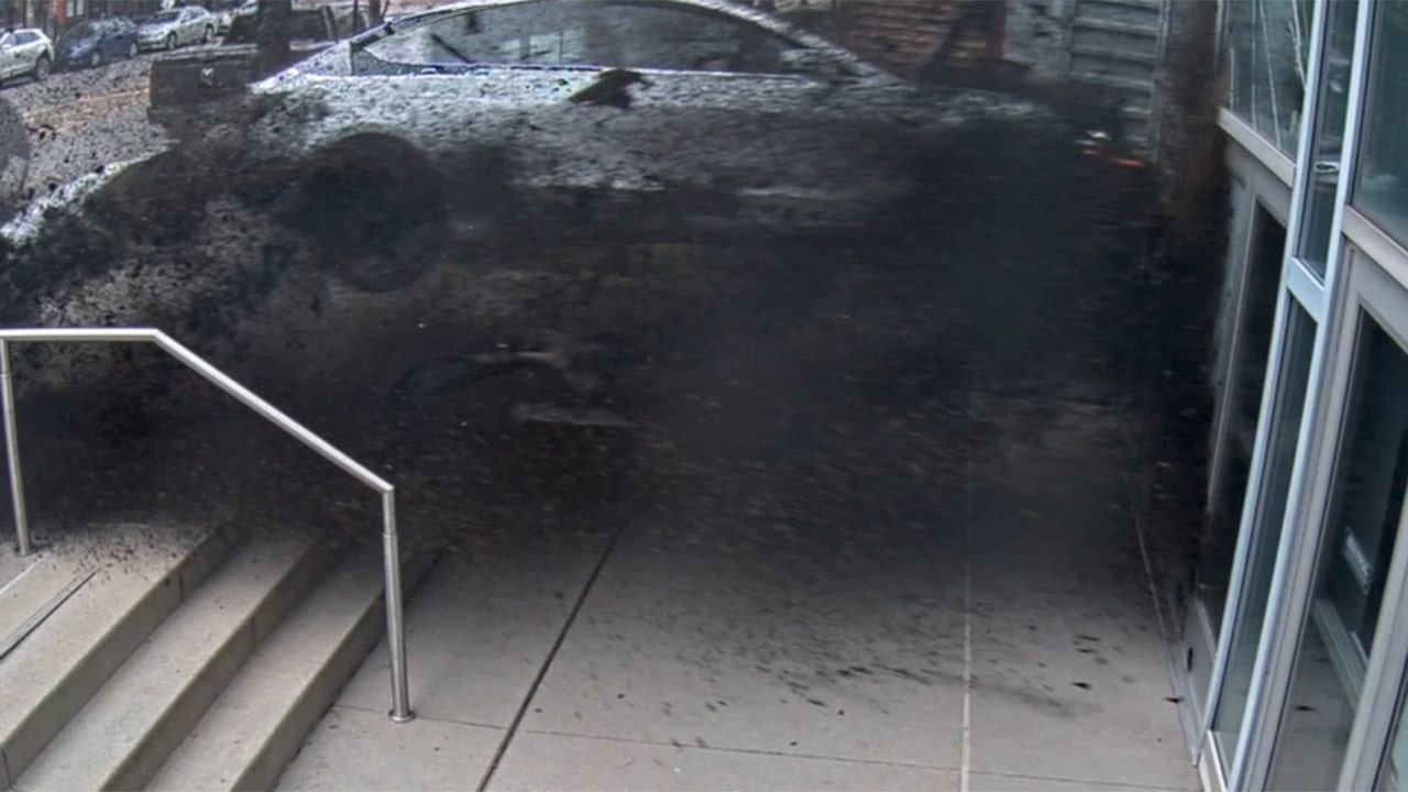
St. Paul police release body camera footage of officers shooting armed Minneapolis murder suspect

”Drop the gun. Get on the ground, man. We want to help you!” officers tell Bennett, firing less lethal weapons fired at him. “We don’t want to kill you, man, please just drop the gun!”
A moment later, Bennett appears to point the gun at officers. More than a dozen gunshots ring out.
“Y’all did not have to do that!” a bystander shouts before about a dozen officers approach Bennett as he lies on the ground near the metro train tracks.
“Our city experienced another episode of gun violence last week,” Police Chief Axel Henry said in a statement after the shooting. “Our officers responded to one of the busiest intersections in our state for a person shooting a gun.
“Given the location, time of day, and number of motorists, light-rail users, and people on foot and bicycles in the area, I am thankful more people weren’t injured.”
Minneapolis, MN
DOJ To Monitor Polls In 3 MN Districts

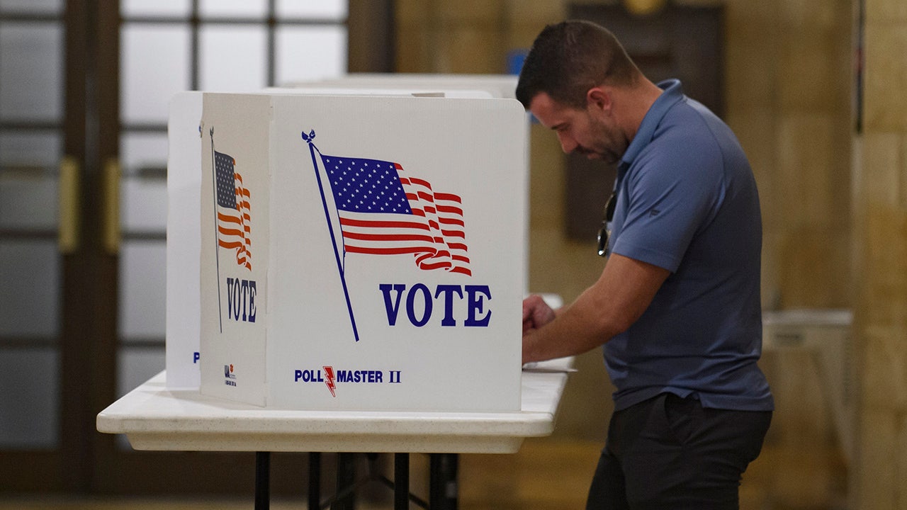
MINNEAPOLIS — The U.S. Justice Department announced on Monday plans to monitor compliance with federal voting rights laws in 86 jurisdictions in 27 states for the Nov. 5 general election.
Among those districts are three in Minnesota:
- Hennepin County, Minnesota
- City of Minneapolis, Minnesota
- Ramsey County, Minnesota
The DOJ enforces federal voting rights laws that protect the rights of all eligible citizens to access the ballot. To do this, the department said it regularly deploys its staff to monitor for compliance with federal civil rights laws in elections in communities across the country.
On Election Day, Civil Rights Division personnel will be available all day to receive questions and complaints from the public related to possible violations of federal voting rights laws
Reports may be made through the department’s website www.civilrights.justice.gov or by calling toll-free at 800-253-3931.
Minneapolis, MN
Minneapolis plans to close 5 outdoor ice rinks due to low funding

Mpls proposing to close 5 outdoor ice rinks
The Minneapolis Parks and Recreation Board plans to close five outdoor ice rinks in the city due to low funding and “uncertain climate fluctuations”. FOX 9’s Mike Manzoni has the latest.
MINNEAPOLIS (FOX 9) – Facing a $1.5 million funding shortfall, the Minneapolis Park and Recreation Board announced in October plans to close five outdoor rink sites.
The proposal comes after an unusually warm winter forced the city to shut down all 22 outdoor rink sites eight days after it opened them in January. The abbreviated season cost the city $887,646, or $110,955 per day. The board cited “uncertain climate fluctuations” as well as warming room rental costs and inflation as reasons for the proposed closures.
The proposed closures include Lyndale Farmstead, Powderhorn, Webber, Matthews and Windom.
The plans frustrated some who use the rinks each winter.
“It was a total surprise to us,” said Eric Vegoe, a volunteer coach for the Minneapolis Titans, a youth hockey team. “It’s difficult to see them make that choice just off of one year. We know global warming is happening, there’s climate change. What will be the future of rinks? We don’t know. But it’s hard to see because this one’s used by so many kids.”
Vegoe said the children on his team, including his two sons, are upset. He said the closures would leave Logan Park as the only other rink site in the Northeast neighborhood.
“If they’re going to want to skate outdoors, they’re not going to be able to walk to the park,” he said. “They’re going to have to get rides and go somewhere else and find a place to play.”
The board plans to meet Wednesday to discuss the proposal. It also plans to curtail the hours at recreation centers at five locations.
-

 Technology1 week ago
When a Facebook friend request turns into a hacker’s trap
-
Business5 days ago
Carol Lombardini, studio negotiator during Hollywood strikes, to step down
-

 Health6 days ago
Just Walking Can Help You Lose Weight: Try These Simple Fat-Burning Tips!
-
Business4 days ago
Hall of Fame won't get Freddie Freeman's grand slam ball, but Dodgers donate World Series memorabilia
-

 Business1 week ago
Will Newsom's expanded tax credit program save California's film industry?
-

 Culture3 days ago
Yankees’ Gerrit Cole opts out of contract, per source: How New York could prevent him from testing free agency
-

 Culture2 days ago
Try This Quiz on Books That Were Made Into Great Space Movies
-

 Business7 days ago
Apple is trying to sell loyal iPhone users on AI tools. Here's what Apple Intelligence can do


