A strong cold snap is currently spreading across the US – bringing with it potential record lows for much of the country.
Already felt in places like Denver, the abnormal chill will affect wide swathes of the Midwest, South, and East, forecasts show – including almost all the Lower 48 states.
The single exception, meteorologists say, will be the Sunshine State – which, true to its name, is set to stay in the 70s and 80s.
Elsewhere, in places like North Texas, temperatures are poised to drop like a rock as the cold front spurs record highs that have been well in the 80s to fall below freezing.
As snow hits places such as Colorado and North Dakota, some regions will experience temperatures in the 30s and 20s – and even the single digits.
By Wednesday, low temperatures in the central and northern Rockies and Plains will continue to dip, before reaching much of central and northern Texas; most of western Kansas and Oklahoma; and portions of Nebraska, Colorado (pictured), and even New Mexico

As snow has some up in places like Colorado (Pictured: Boulder over the weekend), some regions will experience temperatures in the 30s and 20s – and even the single digits

A strong cold snap is currently spreading across the contiguous United States – bringing with it potential record lows for much of the country
The cold-air phenomenon began Monday, and is set to reach its peak later this week. As a result, some 60million Americans – from the flatlands of the Lone Star State to the Great Lakes and Ohio Valley – are under frost or freeze alerts.
Another 200million, experts say, are poised to experience some form of unseasonably cold weather one way of the other.
A statement from the Nation Weather Service warned those citizen of the weather event, which on Monday morning was making its way across places as far north as Cape Cod, and as far south as Louisiana.
Penned by the agency as this was happening, the alert told citizens in countless cities – including Nashville, Minneapolis, and Salt Lake City – to expect temperatures around 20 to 25 degrees below normal.
‘A potent autumn cold front is set to complete its trek across the CONUS (contiguous United States) by midweek as it pushes through the Gulf Coast and East Coast states by tonight,’ the statement read.
‘In its wake, well below average temperatures underneath strong high pressure [will be] located across the central United States and will continue to slide eastward.
‘Most impacts associated with this late-October cold are in the form of overnight frost and freezing temperatures,’ the agency added, citing below-freezing temperatures currently being seen in places like Perryton, Texas.
‘Freeze Warnings and Watches extend from central Arizona through the southern Plains and into the Midwest and Ohio Valley,’ it continued – noting how farmers can count themselves lucky the cold fronts comes at a time where their growing seasons were already pegged to end this week.

Already felt in places like Denver (seen here Sunday after getting eight inches of snow over the weekend), the abnormal chill will affect wide swathes of the Midwest, South, and East, forecasts show – including almost all the Lower 48 states

By Tuesday, more areas from the Plains to the East Coast will boast temperatures well below average, but not below freezing
The coldest temperatures on Monday and Tuesday, however, the agency said, will be felt throughout the central and northern Rockies – as well as the northern Plains.
As a result, cities like Bismarck – which over the weekend was bombarded with 8.8 inches of snow – and Park River, which picked up a foot-and-a-half of the white stuff, will dip into the teens and even single digits.
By Wednesday, low temperatures in those places – as well as cities in Idaho, South Dakota and much of the central US – will continue to dip, before reaching much of central and northern Texas; most of western Kansas and Oklahoma; and portions of Nebraska, Colorado, and even New Mexico.
Cities like Santa Fe, which typically records temperatures around 57 degrees this time of year, will dip ‘into the teens and 20s’ during the day, the agency said – putting a cap on a particularly bone-chilling Halloween the night before.
‘These temperatures also equate to around 20 to 25 degrees below average for this time of year,’ the weather service noted, issuing the warning as the cold air was about to reach the East Coast.
The rest of the afternoon, the service warned, will see ‘a developing area of low pressure pushing from the Mid-Atlantic to the Gulf of Maine will help spread a widespread precipitation shield through the Northeast.
That is forecast to overlap with subfreezing temperatures already occurring over northern Maine, where Winter Weather Advisories are currently in effect due to a forecast 4 to 8 inches of snowfall.

The cold-air phenomenon began Monday, and is set to reach its peak later this week. As the weather mass moves east, several seasonal weather records could be broken in states, meteorologists warn. A motorist is seen clearing snow from his car Sunday in Denver

Another product of the cold front is the fact that Texas will be virtually cut in two in terms of weather, with places like Perryton in the north poised to hit 19 degrees Monday, while southern locales like Zapata set to stay around 45
Meanwhile, the Acela Corridor – the area of northeast comprised of urban hubs like Washington, D.C., New York City, and Boston – will experience temperatures around 40s overnight, roughly 20 degrees cooler than what is typical.
By Tuesday, most areas from the Plains to the East Coast – including Cincinnati, St. Louis, Little Rock, Oklahoma City, Chicago, and Pittsburgh – will boast temperatures well below average, but not below freezing.
That said, highs will rebound only to the low 50s at best Tuesday – marking a significant day-to-day drop-off from record highs seen last week in places like Texas and Missouri.
There, flagships like Houston and Kansas City recorded unseasonably high temps in the 80s and 70s, creating almost unheard of day-to-day drops of 40 degrees.
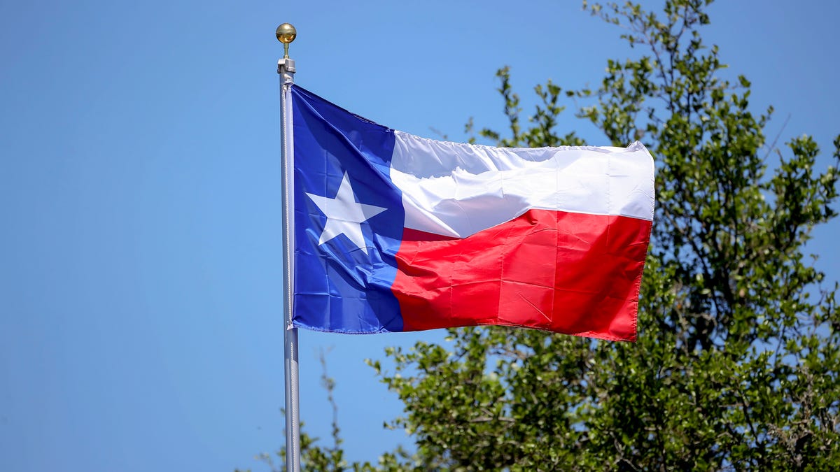
Another bizarre product of the cold front is the fact that Texas – which stretches 801 straight-line miles from north to south and 773 miles east to west – will be virtually cut in two in terms of weather, with places like Perryton in the north poised to hit 19 degrees Monday, while southern locales like Zapata set to stay around 45.
‘Two seasons, one state,’ meteorologist Pat Cavlin tweeted Sunday when Perryton was seeing daytime temperatures just under 30 degrees, while mercury in Zapata reached 94 degrees.

The front will create significant day-to-day drop-off from record highs seen last week in places like Houston (pictured), which last week recorded unseasonably high temps in the 80s – creating an almost unheard of day-to-day drops of 40 degrees
A graphic posted by the weather expert highlighted this disparity – pointing out the difference of 65 degrees.
On Tuesday, morning lows in parts of Oklahoma and Texas are set to dip into the 20s and 30s, before expanding to the east on Wednesday morning.
As it moves east, several seasonal weather records could be broken in states stretching from Texas to the Ohio Valley. Cities like Topeka in Kansas and Springfield – along with Kansas City – in Missouri could see records fall, as temps there dip into the teens.
Oklahoma City, too, could see a new coldest ever temperature by Wednesday morning, if a 16 degree marker set in 1993 is eclipsed.


/cdn.vox-cdn.com/uploads/chorus_asset/file/25789444/1258459915.jpg)

/cdn.vox-cdn.com/uploads/chorus_asset/file/25546252/STK169_Mark_Zuckerburg_CVIRGINIA_D.jpg)

/cdn.vox-cdn.com/uploads/chorus_asset/file/23951353/STK043_VRG_Illo_N_Barclay_3_Meta.jpg)
/cdn.vox-cdn.com/uploads/chorus_asset/file/24924653/236780_Google_AntiTrust_Trial_Custom_Art_CVirginia__0003_1.png)