Texas
Texas attorney general sues Pfizer, claiming vaccines didn’t end pandemic quickly enough
/static.texastribune.org/media/files/02fd318d59760f8e5caeed17953e8c74/Ken%20Paxton%20File%20MF%20TT%2009.jpg)
Sign up for The Brief, The Texas Tribune’s daily newsletter that keeps readers up to speed on the most essential Texas news.
Texas Attorney General Ken Paxton accused drugmaker Pfizer of fear-mongering and lies about the effectiveness of its COVID-19 vaccine, which the company insinuated would end the pandemic, according to a lawsuit Paxton announced Thursday.
“In a nutshell, Pfizer deceived the public,” reads the 54-page lawsuit, filed in a Lubbock state district court.
The lawsuit alleges Pfizer “engaged in false, deceptive, and misleading acts and practices by making unsupported claims regarding the company’s COVID-19 vaccine in violation of the Texas Deceptive Trade Practices Act.”
Pfizer was the first drugmaker to get the federal government’s emergency approval for the vaccine in late 2020, less than a year after the first infection was detected in the U.S.
The company has since won full approval for the use of its vaccine from the U.S. Food and Drug Administration.
Also, the pandemic has since been declared over.
But the lawsuit comes at a time when Texas conservatives are pushing bans on COVID-19 vaccine mandates and trumpeting other anti-vaccine positions that are espoused by their grassroots supporters in the months leading up to election season.
Paxton’s arguments, many of them familiar tropes among the anti-vaccine and COVID-19 denial crowd, hinge on the fact that the pandemic did not end soon enough — even though Pfizer officials never promised an end date to the health threat.
The drugmaker, he argues, claimed its vaccine was 95% effective but did not manage to end the pandemic within a year after being introduced.
“Contrary to Pfizer’s public statements, however, the pandemic did not end; it got worse. More Americans died in 2021, with Pfizer’s vaccine available, than in 2020, the first year of the pandemic,” the lawsuit says. “This, in spite of the fact that the vast majority of Americans received a COVID-19 vaccine, with most taking Pfizer’s.”
But like other portions of Paxton’s lawsuit, that’s a statement that is technically true, but easily manipulated, experts say. Other assertions made in the lawsuit filing, they argue, are completely unsubstantiated, such as one claiming that vaccinated people were more likely to die from COVID-19, which Texas health data disputes.
The COVID-19 pandemic ended three years after it started causing deaths in the U.S., just over two years after the vaccines were introduced. The virus has killed 1.2 million Americans since Spring 2020, although infections and deaths have dropped dramatically starting in early 2022 — which experts attribute to a weakening virus, herd immunity and the fact that about 75% of the U.S. population had at least one shot of the vaccine. There have been fewer than 300,000 American deaths from COVID-19 in the last year and a half.
On May 5, the World Health Organization declared an end to the global COVID-19 health emergency. The U.S. followed a few weeks later.
It’s true that the virus killed more people in 2021 — twice as many. But that’s a calendar-year measure of 12 months of full-on pandemic level infections, compared to less than nine months the year before, in which deaths were staying in the double digits in most states in the early weeks.
Of the 1.2 million Americans who have died from COVID since the first death was recorded in March 2020, more than half of them died within the first 12 months. By then, only a third of Americans had gotten the shot.
When the pandemic was declared over in May, about 70% of Americans were considered to be fully vaccinated — the point at which experts had been saying for years would signal the end of the crisis.
But while facts and science remain on the side of COVID-19 vaccine supporters, who include experts in some of the most influential medical organizations across the world, the lawsuit still has political ramifications, said Terri Burke, executive director of The Immunization Partnership in Houston.
“What this really does is it’s just another attempt to erode confidence in all vaccines,” Burke said.
Paxton argues in the lawsuit that death rates were higher in some areas among vaccinated people than among unvaccinated people, but that’s not true for the overall rate in Texas.
The state’s own Department of State Health Services COVID-19 death tracker shows that as of April, the COVID death rate for fully vaccinated Texans is 12 times lower than that of unvaccinated Texans.
“These arguments have been around for a long time, and there are fact checks” that prove them wrong, Burke said. “This lawsuit and the rhetoric behind it are not going to make us safer. … It’s performative politics, as usual.”


:focal(0x0:3200x2134)/static.texastribune.org/media/files/b1abda7fd3f2165bfa494788586c92c3/0322%20TMB%20MC%20TT%2020.jpg)


NORTH TEXAS — For the fourth day in a row, the high temperature for the metroplex reached 90° or higher. We now are at the fifth warmest May on record to date.

The warm and humid conditions continue Wednesday with high temperatures forecast to reach the mid to upper 80s again. We see more cloud cover in place ahead of a cold front that will move into North Texas in the late morning hours into the early afternoon. The front will help storm development coupled with the dryline so we have issued alerts for Wednesday and Thursday.

All severe weather parameters are possible on Wednesday so stay alert to the First Alert Forecast.
Large hail, damaging winds with localized flooding are the main threats but there is a low tornado threat. The Storm Prediction Center has most of North Texas under a Level 3 Enhanced risk of severe storms.

The cold front enters our northwest counties in the late morning hours and stalls over North Texas in the early afternoon. Wherever the front stalls will be the area of concern for the storms to develop.


The timing of the storms looks to be late morning through the early evening hours. We can’t rule out the chance of some strong to severe storms into the 9 p.m. – 10 p.m. time frame but they should be weakening.
Thursday, the front lifts back north as a warm front and, depending on the frontal position along with the dryline, we could see more showers and storms with large hail and damaging winds possible.
After Thursday, turn our attention to Memorial Day weekend and the hot and humid conditions in the forecast. There is a potential heat advisory this weekend, especially from Sunday to Monday. We will see feels-like temperatures above 100° Friday through Monday.


While celebrating the long weekend, stay hydrated and take breaks in the A/C if possible. The rain chances drop to about 20% Saturday through Monday but stay weather-aware in lake areas.


By Shelby Shank
Field Editor
Severe weather swept across the Lone Star State this month, bringing damaging hail and excessive rainfall that has taken a toll on some farmers’ crops.
Among those affected were Matthew Hoelscher, who raises cattle and grows hay, corn and wheat in Falls County.
“The corn was looking like it was on the right track,” Hoelscher said. “But we’ve had excessive amounts of rain the past few weeks. The corn was starting to show signs of some drowning out, but overall, I had a good, healthy crop that was potentially going to be something.”
But a storm in mid-May changed that for some of his crop.
“We had some hail that blew in, and it was kind of light for a minute. Then all of a sudden, we had some massive, heavy winds pick up,” Hoelscher said. “Then, the hail came down hard, and the storm lasted about five to 10 minutes. It was very intense and very, very windy.”
The hail was anywhere from the size of a marble to a ping-pong ball.
Hoelscher has about 100 acres with slight damage from the storm, but 60 acres that were severely destroyed.
“The hail just stripped the corn to pieces,” Hoelscher said. “Lost all the leaves, snapped the stalks off in half, and it just looks completely stripped.”
This growing season is vastly different from the past two years for Hoelscher.
While the rain was initially a welcome relief from the prolonged drought, the sheer volume has created its own set of challenges.
“I’ve quit counting how much rainfall we’ve been receiving, but just in May and mid-April, it’s been 15 to 20 inches,” Hoelscher said.
As the weather continues to fluctuate, Hoelscher, as well as farmers across the state, will keep adapting and finding ways to sustain their livelihoods through the challenges.
“It’s just how it is working with Mother Nature,” Hoelscher said.
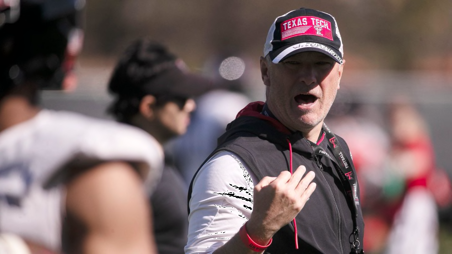
Recently, we took a shot at projecting the Texas Tech football program’s depth chart in the wake of spring practices. Little did we know that head coach Joey McGuire would provide an actual look at where his program stands just days later.
Certainly, there are some intriguing elements of the actual depth chart that are worth analyzing. Here are some of the major takeaways.
One interesting observation is that Washington State transfer wide receiver Josh Kelly is listed as the starter at one of the inside receiver positions. Last year for the Cougars, he was primarily lined up at outside receiver where he continually made big plays.
Though he is listed at only 6-foot-1 and 195 pounds, Kelly has made a living on the outside in his college career. He’s caught 148 career passes for 2,228 yards and 12 TDs including 61 catches for 923 yards and 8 TDs a season ago for the Cougars.
Right now, Kelly is listed at the same spot as both senior Drae McCray and 5-star true freshman signee Micah Hudson, who did not go through spring practices as he recovered from offseason knee surgery. Those are three of Tech’s most explosive weapons so to have them all at the same position is fascinating. Certainly, there has to be a plan to get at least two of them on the field at the same time to maximize the team’s athleticism, something that was an area of weakness in 2023.
So who is listed as the starter at the outside position where we thought Josh Kelly would line up? That would be Coy Eakin.
The 6-foot-2 sophomore from Stephenville, Texas continues to be a steady practice player who impresses coaches every year with his work in between games. however, he hasn’t quite broken out in game action thus far.
Last year, he snagged 36 passes for 416 yards and two TDs in ten games. Those numbers are respectable but not spectacular. He did finish the season on a high with seven grabs for 102 yards and one score in the Independence Bowl win over Cal, one of two 100-yard days he had in 2023.
Eakin has demonstrated that he has a rapport with starting QB Behren Morton who seems to trust the sure-handed wideout. That could be helping Eakin sit atop the depth chart at the X wide receiver spot, a place where we expected to see Josh Kelly get most of his reps.

Mini-bikers busted after Hollywood Boulevard brawl with actor Ian Ziering

DNR: Body of Plymouth kayaker missing since May 12 found offshore in Detroit River

Missing UC Davis student believed to be in distress last seen in San Francisco

Dallas Wings lose halftime lead, drop first road game to Atlanta

Miami weather for Tuesday 5/21/24 11PM
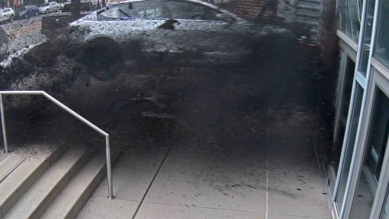
See it: Tesla crashes into Columbus convention center at 70 mph

Colorado Rockies game no. 116 thread: Zac Gallen vs José Ureña

Fox News Politics: Georgia the whole day through

Death of missing Oregon girl found in stream ruled homicide

At least 2 dead as tornadoes hit Alabama, damage homes across Southeast

Read Prosecutors’ Filing on Mar-a-Lago Evidence in Trump Documents Case

Stefanik files ethics complaint against Trump trial judge, cites daughter's work for group promoting Dems

Serbian parliamentary minnow pushes for 'Russian law' equivalent

The states where abortion is on the ballot in November : Consider This from NPR
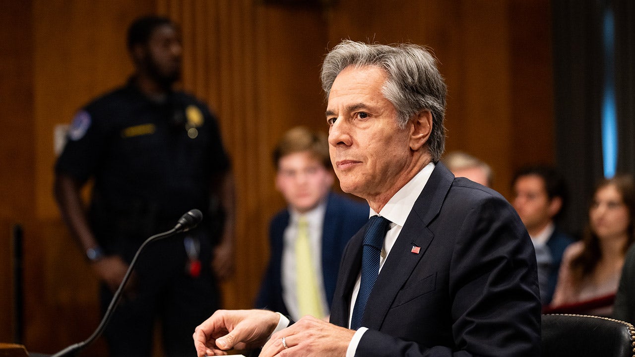
Anti-Israel agitators interrupt Blinken Senate testimony, hauled out by Capitol police
-
 News1 week ago
Skeletal remains found almost 40 years ago identified as woman who disappeared in 1968
-
 World1 week ago
India Lok Sabha election 2024 Phase 4: Who votes and what’s at stake?
-
 World1 week ago
Ukraine’s military chief admits ‘difficult situation’ in Kharkiv region
-
 Movie Reviews1 week ago
Aavesham Movie Review
-
 Movie Reviews1 week ago
Unfrosted Movie Review: A sweet origins film which borders on the saccharine
-
 World1 week ago
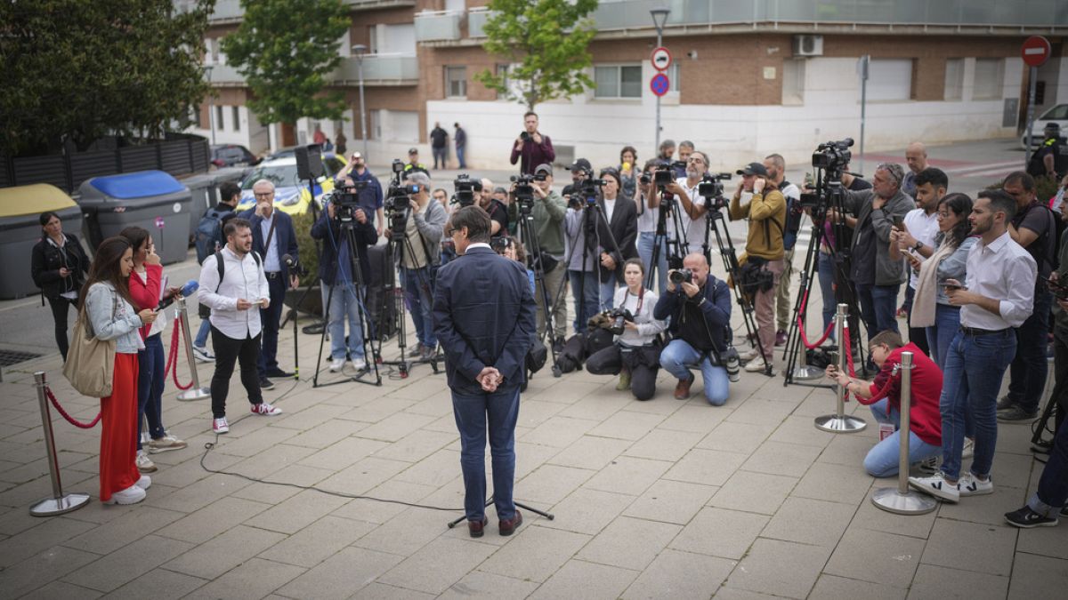
Catalans vote in crucial regional election for the separatist movement
-
 Politics1 week ago
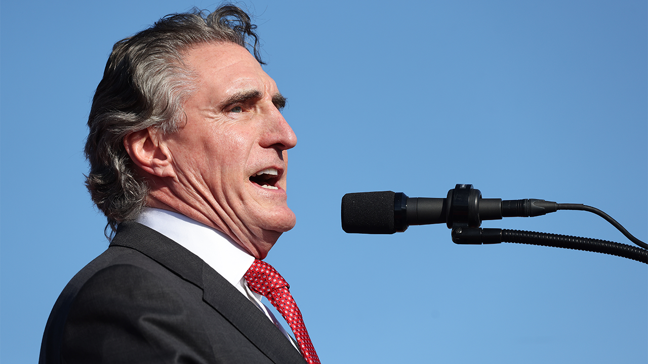
North Dakota gov, former presidential candidate Doug Burgum front and center at Trump New Jersey rally
-
 Education1 week ago
Video: Protesters Scuffle With Police During Pomona College Commencement