Connect with us

Alaska

Severed cable off Arctic Alaska is repaired with internet, cell service improvements underway

Published

on

Severed cable off Arctic Alaska is repaired with internet, cell service improvements underway


By Alena Naiden

Updated: 18 minutes ago Published: 18 minutes ago

Quintillion’s subsea fiber optic cable cut — which for months has challenged communications across northern Alaska — has been repaired, the broadband provider said Tuesday.

Advertisement

“Service to customers has been fully restored,” Quintillion said in a statement.

It might still take time for some residents to see improvements to their internet and cell service as telecom providers such as GCI transition back to using the fiber system. Several other providers have already restored their fiber service in northern communities.

The breakage happened out of Oliktok Point west of Prudhoe Bay in the middle of June when sea ice severed the cable. The issue caused internet and cell outages in several North Slope and Northwest Arctic communities and affected thousands of Alaskans.

Quintillion planned to repair the cut in about two months but had to wait for the ice to clear to get to the site, company President Michael “Mac” McHale has said. On Aug. 25, they started the multimillion-dollar repair to the cable, which is buried about 10 to 12 feet below the seabed floor, under 90 feet of water.

[Subsea fiber repairs are underway off Arctic Alaska, but when services will be restored is unknown]

Advertisement

A 42-member repair crew retrieved the shoreside cable that runs south from the Beaufort Sea, prepared it for future repair and placed it back on the seabed floor, McHale said. Then, for more than 10 days, they focused on retrieving the seaside aspect of the cable, excavating the seabed floor in low visibility and harsh weather conditions. The last step was to bring the shoreside cable back up and repair the middle section by connecting the two points with new fiber.

Almost a month after beginning work on the severed cable, Quintillion announced that the repairs were complete.

The company said it now plans to focus on improving the resiliency and sustainability of the Quintillion network.

While the fiber cut is fixed, some telecom providers using the Quintillion system might still need time to switch back to the fiber network and improve internet and cell service to residents, McHale said.

GCI is among the providers that are transitioning their customers in northern Alaska back to fiber service, company spokeswoman Heather Handyside said.

Advertisement

“It may take a few days to complete the transition but customers in Nome and Kotzebue are already seeing greatly improved internet speeds,” Handyside said.

North Slope provider Arctic Slope Telephone Association Cooperative had reverted to the original fiber network by Tuesday evening, said Rebecca Kunugguk Sparks, ASTAC communications manager. OTZ Telecommunications, which serves Kotzebue, also moved back to fiber from satellite, company CEO Kelly Williams said.

“It definitely is a better quality of service,” Williams said about the fiber network. “But we’re keeping those satellite services in place for now” as a backup.


Source link

Advertisement
Continue Reading
Advertisement
Click to comment

Leave a Reply

Your email address will not be published. Required fields are marked *

This site uses Akismet to reduce spam. Learn how your comment data is processed.

Alaska

Sky Watch Alaska: planets align plus the aurora forecast

Published

on

Sky Watch Alaska: planets align plus the aurora forecast


ANCHORAGE, Alaska (KTUU) – This is a great time of year to do some star gazing. If you have clear skies in your part of Alaska, take the time to check out the night — and morning — sky.

After sunset, look toward the southwest. Saturn and Venus are snuggled up together (of course, they are more than 800 million miles apart) in the evening sky. They set at about 9:40 p.m. in Southcentral.

Before 9:40 p.m., you can see four planets with the naked eye — Saturn, Venus, Jupiter and Mars. Jupiter and Mars stick around through the morning. Mars is very close to the moon right now.

The Aurora forecast is fairly weak for the next few weeks. That’s not to say there won’t be the occasional burst but overall, solar activity is expected to be fairly low until the beginning of February.

Advertisement

If you get great pictures of the planets, the sky, or the aurora, don’t forget to send them to Alaska’s News Source.

See a spelling or grammar error? Report it to web@ktuu.com


Source link

Advertisement
Continue Reading

Alaska

Short-lived cold snap, with another warming trend this weekend

Published

on

Short-lived cold snap, with another warming trend this weekend


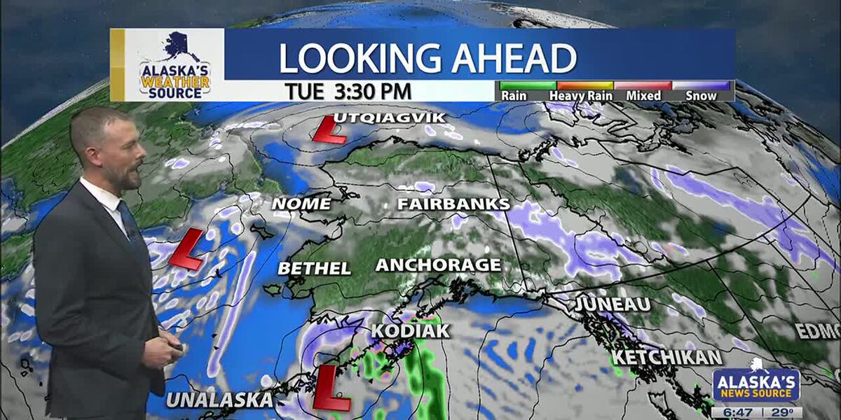
ANCHORAGE, Alaska (KTUU) – Temperatures across the state are cooling off, as our strong low from the weekend moves into the Chukchi Sea. This will set up for colder air to spread across the state this week, as another short-lived cold snap is expected. While some light snow is possible for the Interior, areas of the Slope and Western Alaska, Southcentral will stay on the drier side until the night. Meanwhile, Southeast will continue to hold onto moderate rain with gusty conditions.

SOUTHCENTRAL:

Temperatures this morning are 10 to 20 degrees colder than yesterday, as colder air has settled back into Southcentral. Clear skies and calm winds are evident this morning for parts of the region, with light snow falling through the Copper River Basin. We’ll see fairly quiet conditions today, outside of Kodiak which will see increasing snow and rain into the afternoon and evening hours. This comes as our next area of low pressure moves up the Alaska Peninsula.

We’ll see light snow spreading north across the Kenai overnight into Wednesday, with light snow expected through Prince William Sound. Several inches are likely through the Kenai and Chugach Mountains, with the pass expected to see a couple of inches of accumulation. Western parts of the Kenai will see the potential for a few inches, while inland areas of Southcentral largely stay dry. If Anchorage and surrounding locations see any accumulation, it’ll amount to less than half an inch.

Advertisement

As snow tapers off Wednesday, we’ll see the return to colder and drier conditions into Thursday. Thursday may be the coldest day this week across the region, before another warming trend carries us into next week. Right now holding with snow through early next week, but areas of wintry mix are possible as highs warm above freezing.

SOUTHEAST:

The winter storm warning for Skagway and higher elevations expired at 6am this morning. While some light snow showers are still possible, little accumulation will occur the rest of the day. Scattered to periodic showers are occurring elsewhere across Southeast today, with less than half an inch of rainfall through the day. Any moisture available into the evening will see a transition to some wintry mix or snow into Wednesday morning. However, the better chance will come from another low lifting north into the panhandle. Any snow and wintry mix we see for Wednesday will primarily stay confined to the central and southern panhandle. We’ll see much cooler weather taking hold this week for Southeast.

INTERIOR:

Some areas of light snow are possible this morning, with less than half an inch to be expected. While temperatures are still warm for much of the Interior, highs will steadily fall throughout the day. Many areas will see lows bottom out near or below zero by tomorrow morning. We’ll see high pressure keep things dry and sunny through the next couple of days, with the coldest stretch of weather from Wednesday morning into Thursday morning. Much like the rest of the state will experience, a warming trend arrives this weekend. We’ll see the return to highs in the 20s, with some snow in the forecast. Be prepared for some gusty conditions through the Alaska Range by the close of this week.

Advertisement

SLOPE/WESTERN ALASKA:

Areas of light snow and blowing winds will continue to impact the Slope, with a winter weather advisory remaining in place for the Central Brooks Range and the Beaufort Sea Coast. Both locations will see up to 1 inch of snow and gusty winds up to 35 mph. While the winter weather advisory will expire for the Central Brooks Range this afternoon, the Beaufort Sea Coast will see the alert continue into Tuesday evening. Snow and blowing snow will be the primary impact today, with a return to colder weather through the rest of this week, this comes as high pressure settles into the area.

The storm responsible for the damaging winds for Southcentral over the weekend, has pushed north into the Chukchi Sea. We’ll still see some light snow accumulations for Western Alaska, with 1 to 3 inches expected. Some fo the heaviest snow will fall across the Seward Peninsula and the Western Brooks Range.

An area of low pressure in the Bering Sea will keep gusty winds and snow in the forecast for Gambell/St. Lawrence. Be prepared for heavy snow at times and areas of reduced visibility. Overall, colder weather will settle into Western Alaska, with the possibility of morning fog in the valleys over the next few mornings.

ALEUTIANS:

Advertisement

Some light areas of snow will occur for the Pribilof Islands and into parts of the Alaska Peninsula today, as a weak low moves up the Peninsula. This will be the main focus for snow into Wednesday for Southcentral. This low will bring heavy precipitation and gusty winds for the Eastern Aleutians and the Alaska Peninsula. Looking ahead through the rest of the week, we can expect to see more a ridge beginning to build into the region. This ridge will slowly shift east, keeping several upper level disturbances traversing the Aleutians. Temperatures will remain fairly warm in the 30s and 40s.

OUTLOOK AHEAD:

Model consensus continues to agree on another warming trend heading our way into next week. This stretch of warmth will likely lead to many spots cementing themselves within the top warmest January’s on record. While we’ll spend the rest of this week on the colder side, highs steadily climb this weekend into next week. We’ll see highs in Southcentral climbing back above freezing, with areas of the Interior climbing back into the 20s.

Have a safe and wonderful Tuesday!

See a spelling or grammar error? Report it to web@ktuu.com

Advertisement


Source link

Continue Reading

Alaska

Anchorage, Alaska hit by hurricane-force winds, structures damaged across city

Published

on

Anchorage, Alaska hit by hurricane-force winds, structures damaged across city


Associated Press

Hurricane-force winds cause widespread damage in Alaska’s largest city

Thousands of residents across Alaska’s largest city were still without power Monday, a day after a powerful storm brought hurricane-force winds that downed power lines, damaged trees, forced more than a dozen planes to divert, and caused a pedestrian bridge over a highway to partially collapse. A 132-mph (212-kph) wind gust was recorded at a mountain weather station south of Anchorage. A large low-pressure system in the Bering Sea brought the high winds, moisture and warmer than average temperatures — in the low 40s Fahrenheit (slightly over 4.4 degrees Celsius) — to Anchorage on Sunday, said National Weather Service meteorologist Tracen Knopp.


Source link

Continue Reading

Trending