Florida
Florida State rolls out new academic logo
TALLAHASSEE, Fla. (WCTV) – Florida State University is giving its academic logo a face-lift.
The new logo will now be in place of the university’s seal on their website.
More Tallahassee news:
However, the logo with the seal will be reserved for special use such as graduation.
To stay up to date on all the latest news as it develops, follow WCTV on Facebook and X (Twitter).
Have a news tip or see an error that needs correction? Write us here. Please include the article’s headline in your message.
Keep up with all the biggest headlines on the WCTV News app. Click here to download it now.
Copyright 2024 WCTV. All rights reserved.

Florida
Florida governor candidate Fishback talks housing, abortion, Israel

Fishback is among 42 candidates running to succeed Gov. Ron DeSantis.
VERO BEACH — Over 100 people, mostly young men, packed a conference room the evening of April 11 at the Ocean Breeze Inn on Ocean Drive to hear James Fishback speak.
The 31-year-old who has never held political office is one of 42 candidates running to succeed Gov. Ron DeSantis, who cannot seek reelection because of term limits.
As soon as he took the podium, the Republican gubernatorial hopeful took jabs at the leading Republican candidate, Byron Donalds, who has the support of President Donald Trump.
He rattled off nicknames for Donalds, who is Black, including “By’rone Donalds” and “AIPAC Shakur” — a play on the American Israel Public Affairs Committee and rapper Tupac Shakur.
Many in the mostly White crowd responded in laughter.
“If you want a data center in Vero Beach, Byron Donalds is your guy. If you want to stand up for cattle ranchers and citrus growers, I’d like to think I’m your man,” he said.
Emerson College polling shows Fishback is trailing with 5% support among Florida Republicans. He is getting national attention from young conservatives and far-right groups, including his January appearance on conservative political activist and commentator Tucker Carlson’s podcast. Carlson endorsed him.
Candidate qualifying in Florida begins June 8. The primary election is Aug. 18.
Florida’s affordability crisis
Audience members most frequently asked Fishback about the state’s affordability crisis, given Florida’s rising cost of living and some of the lowest wages in the country.
Fishback said his primary strategy would be to ban private equity firms from buying single-family homes.
If elected governor, he said he would not prioritize growth over quality of life, harkening back to the 1980s, when Florida was less developed.
“I will never worship GDP (gross domestic product),” he said. “But as a Christian, I will worship G-O-D.”
Education, abortion and guns
As for teachers, Fishback proposed an increase in pay but wanted to limit classroom discussions of race and gender identity.
Fishback said abortion laws in Florida were too lax, and he pledged to provide paid maternity leave for every woman in Florida as a way to reduce the procedure.
On firearms, he said he would lower the minimum purchasing age from 21 to 18.
“The tragedy of the Marjory Stoneman Douglas High School on Feb. 14, 2018, and the killing of 17 souls by a sick, depraved man should have never been used as a pretext to disarm millions of 18-, 19- and 20-year-olds.”
The crowd erupted in its loudest applause of the evening.
Fishback’s thoughts on Israel
When an audience member asked about his thoughts on Israel, some members of the audience chuckled.
He said he does not “hate Israel or any country in the world.”
“Right now, our cup is not full, and we should not be in the business of filling up the cup for anyone else,” he said.
Who is James Fishback?
Fishback was born in Davie, a town in western Broward County.
His mother immigrated from Colombia, and his father owned a landscaping business and later became a bus driver. Fishback attended Georgetown University to study international economics, but dropped out sophomore year.
Before entering politics, Fishback worked at the hedge fund Greenlight Capital from 2021 to 2023. He said he had been the “head of macro,” but the firm said the highest role he obtained was a research analyst.
After Greenlight disputed Fishback’s title and accused him of sharing confidential portfolio information, the hedge fund sought to fire Fishback for low productivity, but he abruptly resigned, court records show.
He founded an investment management firm called Azoria Partners in 2023, which ran into legal trouble last year when a judge ordered him to turn over company stock and a list of luxury purchases.
Fishback also claimed to be an advisor for the Trump administration’s Department of Government Efficiency (DOGE), but its officials denied he had any role, Katie Miller, a spokesperson for DOGE head Elon Musk told ABC News.
Most recently, a viral video shows Fishback telling a Black man he “should be lynched” during an argument at the University of North Florida.
Jack Lemnus is a TCPalm enterprise reporter. Contact him at jack.lemnus@tcpalm.com, 772-409-1345, or follow him on X @JackLemnus.
Florida
Florida Lottery Powerball, Lotto, Fantasy 5 results for April 11, 2026

The Florida Lottery offers several draw games for those hoping to win one of the available jackpots.
Here’s a look at the winning numbers for games played on Saturday, April 11, 2026.
Winning Powerball numbers from April 11 drawing
06-47-49-53-60, Powerball: 06, Power Play: 2
Check Powerball payouts and previous drawings here.
Winning Powerball Double Play numbers from April 11 drawing
01-04-22-36-48, Powerball: 17
Winning Florida Lotto numbers from April 11 drawing
03-06-09-20-29-35
Check Florida Lotto payouts and previous drawings here.
Winning Lotto Double Play numbers from April 11 drawing
07-29-36-39-42-50
Check Lotto Double Play payouts and previous drawings here.
Winning Fantasy 5 numbers from April 11 drawing
Midday: 22-25-27-31-34
Evening: 10-12-16-17-26
Check Fantasy 5 payouts and previous drawings here.
Winning Cash Pop numbers from April 11 drawing
Morning: 02
Matinee: 04
Afternoon: 01
Evening: 08
Late Night: 14
Check Cash Pop payouts and previous drawings here.
Powerball, Mega Millions jackpots: What to know in case you win
Here’s what to know in case you win the Powerball or Mega Millions jackpot.
Just the FAQs, USA TODAY
Winning Pick 2 numbers from April 11 drawing
Midday: 1-4, FB: 9
Evening: 6-2, FB: 1
Check Pick 2 payouts and previous drawings here.
Winning Pick 3 numbers from April 11 drawing
Midday: 9-3-6, FB: 9
Evening: 0-5-3, FB: 1
Check Pick 3 payouts and previous drawings here.
Winning Pick 4 numbers from April 11 drawing
Midday: 2-6-8-9, FB: 9
Evening: 3-0-2-7, FB: 1
Check Pick 4 payouts and previous drawings here.
Winning Pick 5 numbers from April 11 drawing
Midday: 2-5-4-2-9, FB: 9
Evening: 2-3-5-3-4, FB: 1
Check Pick 5 payouts and previous drawings here.
Where can you buy Florida Lottery tickets?
Tickets can be purchased in person at any authorized retailer throughout Florida, including gas stations, convenience stores and grocery stores. To find a retailer near you, go to Find Florida Lottery Retailers.
Feeling lucky? Explore the latest lottery news & results
Are you a winner? Here’s how to claim your prize
- Prizes of $599 or less: Claim at any authorized Florida Lottery retailer or Florida Lottery district office.
- Prizes for $600 to $1 million: Must be claimed in person at any Florida Lottery district office for games that do not offer an annual payment option.
- Prizes greater than $1 million and all prizes with an annual payment option: Must be claimed at Florida Lottery headquarters, except Mega Millions and Powerball prizes, which can be claimed at any Florida Lottery district office.
You also can claim your winnings by mail if the prize is $250,000 or less. Mail your ticket to the Florida Lottery with the required documentation.
Florida law requires public disclosure of winners
If you’re a winner, Florida law mandates the following information is public record:
- Full name
- City of residence
- Game won
- Date won
- Amount won
- Name and location of the retailer where the winning ticket was purchased.
When are the Florida Lottery drawings held?
- Powerball: 10:59 p.m. Monday, Wednesday and Saturday.
- Mega Millions: 11 p.m. Tuesday and Friday.
- Florida Lotto: 11:15 p.m. Wednesday and Saturday.
- Jackpot Triple Play: 11:15 p.m. Tuesday and Friday.
- Fantasy 5: Daily at 1:05 p.m. and 11:15 p.m.
- Cash Pop: Daily at 8:45 a.m., 11:45 a.m., 2:45 p.m., 6:45 p.m. and 11:45 p.m.
- Pick 2, 3, 4, 5: Daily at 1:30 p.m. and 9:45 p.m.
This results page was generated automatically using information from TinBu and a template written and reviewed by a Florida digital producer. You can send feedback using this form.
Florida
Florida Lottery Mega Millions, Jackpot Triple Play results for April 10, 2026

The Florida Lottery offers several draw games for those hoping to win one of the available jackpots.
Here’s a look at the winning numbers for games played on Friday, April 10, 2026.
Winning Mega Millions numbers from April 10 drawing
03-18-36-42-49, Mega Ball: 06
Check Mega Millions payouts and previous drawings here.
Winning Jackpot Triple Play numbers from April 10 drawing
13-18-21-28-35-38
Check Jackpot Triple Play payouts and previous drawings here.
Winning Fantasy 5 numbers from April 10 drawing
Midday: 11-16-27-31-35
Evening: 12-13-14-19-24
Check Fantasy 5 payouts and previous drawings here.
Winning Cash Pop numbers from April 10 drawing
Morning: 12
Matinee: 04
Afternoon: 02
Evening: 03
Late Night: 05
Check Cash Pop payouts and previous drawings here.
Powerball, Mega Millions jackpots: What to know in case you win
Here’s what to know in case you win the Powerball or Mega Millions jackpot.
Just the FAQs, USA TODAY
Winning Pick 2 numbers from April 10 drawing
Midday: 7-8, FB: 0
Evening: 1-6, FB: 7
Check Pick 2 payouts and previous drawings here.
Winning Pick 3 numbers from April 10 drawing
Midday: 8-0-6, FB: 0
Evening: 5-1-8, FB: 7
Check Pick 3 payouts and previous drawings here.
Winning Pick 4 numbers from April 10 drawing
Midday: 6-7-1-2, FB: 0
Evening: 4-3-9-0, FB: 7
Check Pick 4 payouts and previous drawings here.
Winning Pick 5 numbers from April 10 drawing
Midday: 7-5-1-2-1, FB: 0
Evening: 1-7-9-4-3, FB: 7
Check Pick 5 payouts and previous drawings here.
Where can you buy Florida Lottery tickets?
Tickets can be purchased in person at any authorized retailer throughout Florida, including gas stations, convenience stores and grocery stores. To find a retailer near you, go to Find Florida Lottery Retailers.
Feeling lucky? Explore the latest lottery news & results
Are you a winner? Here’s how to claim your prize
- Prizes of $599 or less: Claim at any authorized Florida Lottery retailer or Florida Lottery district office.
- Prizes for $600 to $1 million: Must be claimed in person at any Florida Lottery district office for games that do not offer an annual payment option.
- Prizes greater than $1 million and all prizes with an annual payment option: Must be claimed at Florida Lottery headquarters, except Mega Millions and Powerball prizes, which can be claimed at any Florida Lottery district office.
You also can claim your winnings by mail if the prize is $250,000 or less. Mail your ticket to the Florida Lottery with the required documentation.
Florida law requires public disclosure of winners
If you’re a winner, Florida law mandates the following information is public record:
- Full name
- City of residence
- Game won
- Date won
- Amount won
- Name and location of the retailer where the winning ticket was purchased.
When are the Florida Lottery drawings held?
- Powerball: 10:59 p.m. Monday, Wednesday and Saturday.
- Mega Millions: 11 p.m. Tuesday and Friday.
- Florida Lotto: 11:15 p.m. Wednesday and Saturday.
- Jackpot Triple Play: 11:15 p.m. Tuesday and Friday.
- Fantasy 5: Daily at 1:05 p.m. and 11:15 p.m.
- Cash Pop: Daily at 8:45 a.m., 11:45 a.m., 2:45 p.m., 6:45 p.m. and 11:45 p.m.
- Pick 2, 3, 4, 5: Daily at 1:30 p.m. and 9:45 p.m.
This results page was generated automatically using information from TinBu and a template written and reviewed by a Florida digital producer. You can send feedback using this form.
-

 Atlanta, GA1 week ago
1 teenage girl killed, another injured in shooting at Piedmont Park, police say
-

 Georgia5 days ago
Georgia House Special Runoff Election 2026 Live Results
-

 Pennsylvania6 days ago
Parents charged after toddler injured by wolf at Pennsylvania zoo
-

 Arkansas2 days ago
Arkansas TV meteorologist Melinda Mayo retires after nearly four decades on air
-

 Milwaukee, WI6 days ago
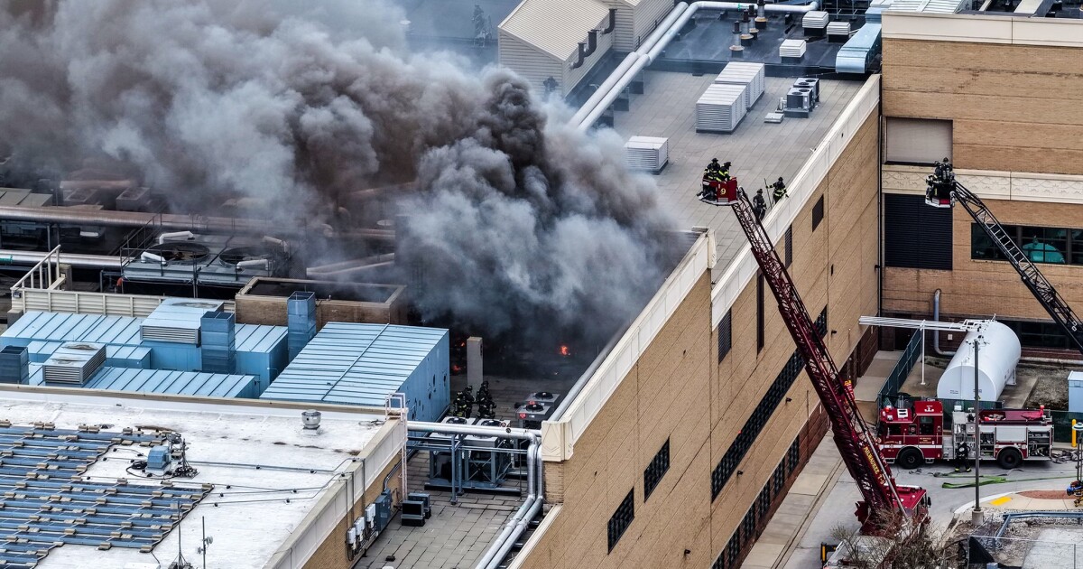
Potawatomi Casino Hotel evacuated after fire breaks out in rooftop HVAC system
-

 Indianapolis, IN1 week ago
Fighting Illini begin Final Four preparations in Indianapolis
-

 Technology1 week ago
Anthropic essentially bans OpenClaw from Claude by making subscribers pay extra
-

 Austin, TX5 days ago
ABC Kite Fest Returns to Austin for Annual Celebration – Austin Today


