Montana
Inversions and fog continue in areas of intermountain western Montana
We’re waking up to significantly reduced visibility once again in the Helena Valley and a Dense Fog Advisory is in effect until around 11 AM. This fog will likely stay with us though due to inversions forming in the intermountain areas of western Montana as a general trend of high pressure dominates the area. Highs in these areas will only reach the 30s today due to the “trapped” cooler air.
KTVH
The Plains will experience warmer than average temperatures Wednesday with breezy conditions coming in from the southwest along the Rocky Mountain Front. We’re looking at wind speeds up to 25-30 miles per hour in Great Falls and Cut Bank today. High temperatures will reach the low 50s in many areas of central. These warmer temps with highs in the upper 40s and low 50s will extend through areas of eastern Montana.
KTVH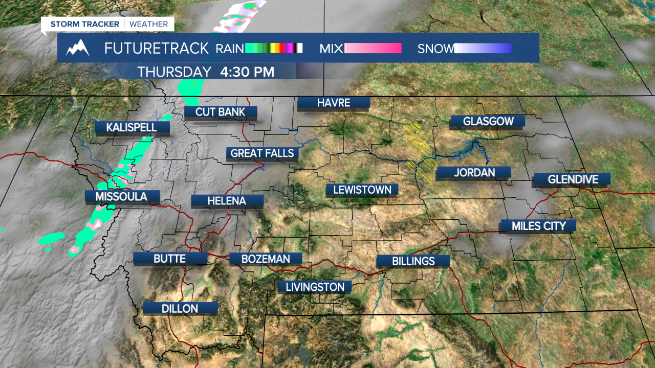

A weak cold front will push into western Montana that will be low impact Thursday afternoon. We are not tracking a high likelihood of showers but we could see some of these inversions lift due to the disturbance. Temps will drop slightly Thursday/Friday due to this, but quickly warm back up over the weekend. Conditions stay mild and dry through early next week.
KTVH
KTVH

