Indianapolis, IN
Damp start to June ahead
INDIANAPOLIS (WISH) — We are ending May on a good note weather-wise as it has been bright with temperatures getting into the mid to upper 70s.
Now, we must turn toward an active open to June on Saturday with rain expected, Then, we’re talking above normal temperatures into next week.
Friday night: Cloud cover is set to increase tonight ahead of our next system. Lows look to drop into the upper 50s to low 60s.


Saturday: Prepare for a damp day as we begin June. We’ll start with the potential for scattered light showers during the morning hours. Then, rain coverage increases through the afternoon and evening hours. Pockets of heavier rain and isolated rumbles of thunder are possible. The bulk of the rain will slowly shift east Saturday night with some lingering rain expected.

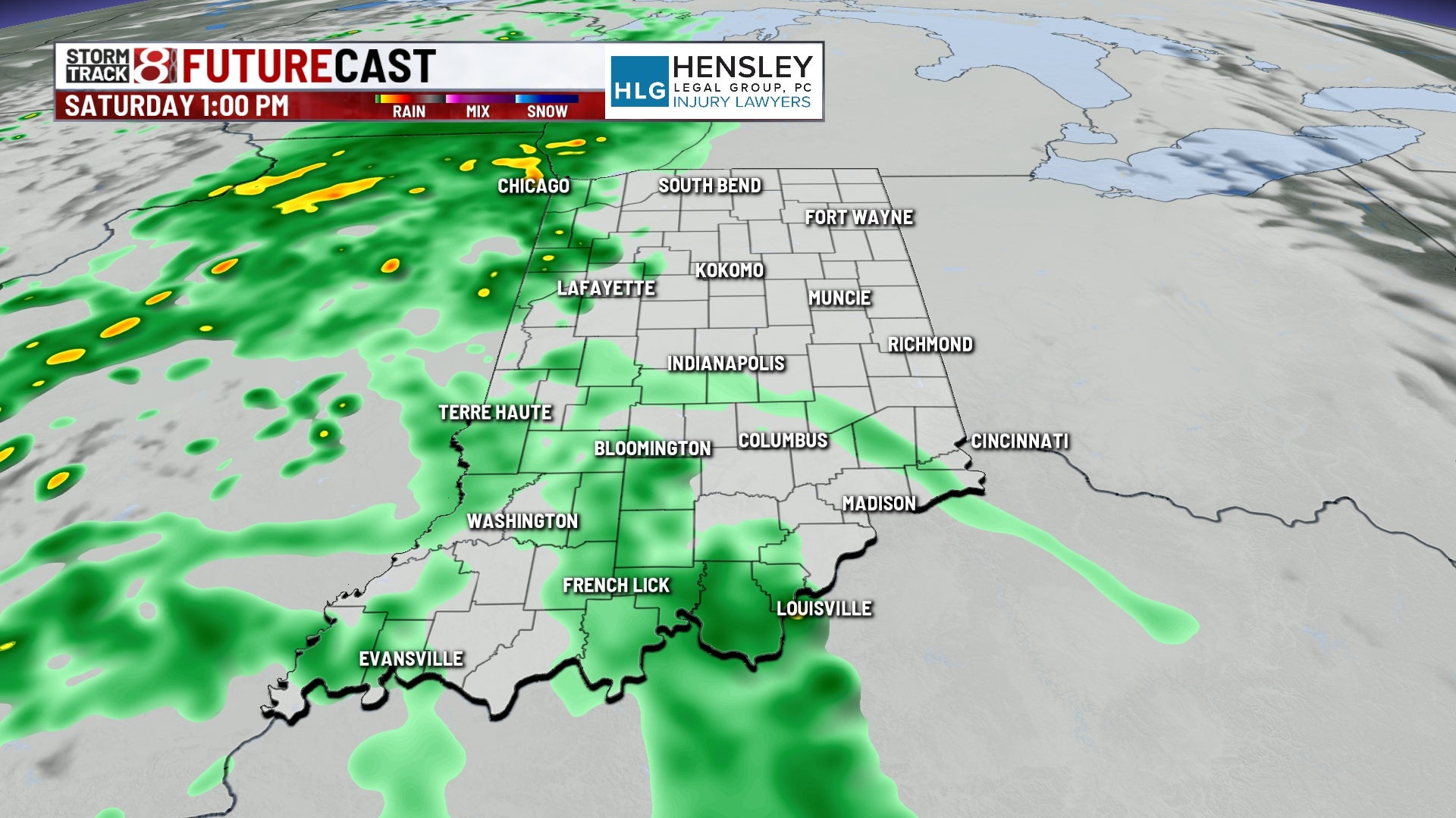


Up to 0.5″-1″ is mainly expected for Saturday with locally higher amounts possible.
Highs are going to struggle to get into the low to mid 70s due to the rain. It will also feel more humid in the back half of the day.


Sunday: A few showers may persist into Sunday morning. Otherwise, we’re expecting a mainly dry Sunday with skies turning partly cloudy by the afternoon hours. Highs will top out in the mid to upper 70s, and it will feel a little humid.

8-Day Forecast: Temperatures will only keep warming up into next week with highs Monday pushing into the mid 80s. Spotty showers and storms may pop-up Monday afternoon and evening. This same process will repeat itself for Tuesday before a more solid system slides in midweek next week. Best chance for rain and storms will be on Wednesday before we cool things down in the back half of next week.
